1 Welland Street, Manchester, M11 1BX
About 1 Welland Street
1 Welland Street is an end-of-terrace house in Manchester (M11 1BX). It has a recorded floor area of 42 m² (around 452 sq ft), construction records dating it to 1996-2002 and council tax band A. At 42 m² this is the smallest unit on EPC record across the building (42–112 m²). The building's EPC ratings span D to C, with this unit at the top. The latest certificate (September 2024) shows a C (score 75), near the top of the C band. The rating has held steady at C across 2 certificates since June 2013. Between certificates, lighting went from Good to Very Good.
At 42 m² it sits well below the postcode median (77 m² across 19 EPCs), making it one of the more compact homes locally.
Know exactly what you're buying at 1 Welland Street
Before you offer, see what the listing won't tell you, the true value, the red flags and the full history.
Valuation
against the asking price
Risks
planning & flood
Sold prices
similar homes nearby
Trends
the local market
Energy performance
1 Welland Street's carbon output is low for the local stock.
EPC Rating
Property Improvements
Changes detected from historical EPC data
Heating controls upgraded for better temperature management
More low energy lighting installed
Planning history
1 Welland Street has no planning applications on record.
Notable planning nearby
3applications of note in the surrounding area
Sales history & valuation
1 Welland Street has no Land Registry sales on file, suggesting it has stayed in the same hands since registration began.
£128,000
Modelled from EPC, postcode comparables.
No sales recorded with HM Land Registry
That can mean the property has never traded since the registry began publishing in 1995, was a new build that hasn't been registered yet, or is held in the same hands long-term.
Median price across the last 1 sales in M11 1BX: £230,000 (2024–2024).
Nearby sales in M11 1BX
Everything we know about 1 Welland Street, in one report
What it's really worth, what could be wrong, and the planning, sales and area data in full.
- Am I paying too much?
- Is something wrong with it?
- Is the agent's story true?
- Will it hold its value?

Similar properties nearby
The neighbourhood at a glance
Rail-style transport is unusually close for this postcode.
Nearest stop
0.2 km
Lees Street — bus stop.
Closest school
0.3 km
Higher Openshaw Community School. 46 schools nearby.
Go deeper on the local area
The full report breaks down crime, transport links, schools and air quality in depth.
Road noise across the postcode
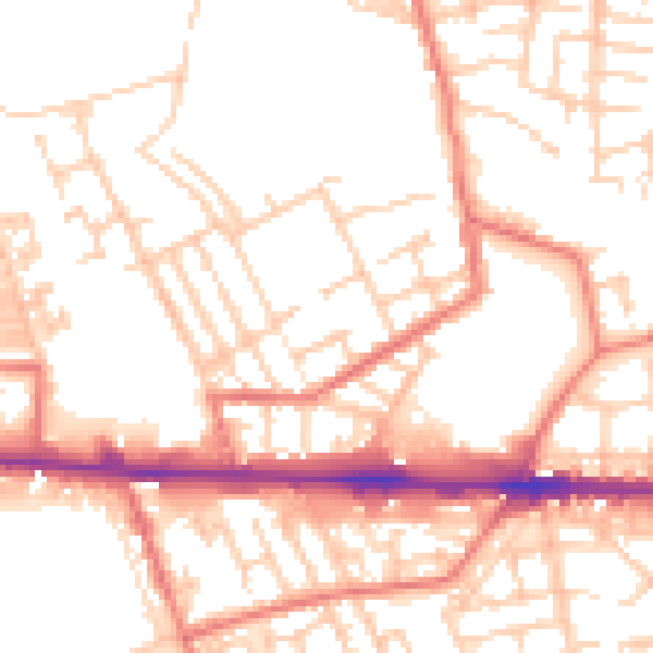
Daytime· 07:00 – 23:00
52.8dB

Night-time· 23:00 – 07:00
41.9dB