48 Cheadle Street, Manchester, M11 1AR
About 48 Cheadle Street
48 Cheadle Street is a mid-terrace house in Manchester (M11 1AR). It has a recorded floor area of 85 m² (around 915 sq ft), construction records dating it to 1900-1929 and council tax band A. The latest certificate (August 2017) shows a D (score 56), a step below the typical UK home. The recommended improvements would push it to C (score 78).
Across 2003–2017, sale prices on this property compounded at 7.1% per year. Today's modelled estimate of £156,000 sits 124.5% above the 2017 sale of £69,500. 9 years since the last transfer (October 2017).
Know exactly what you're buying at 48 Cheadle Street
Before you offer, see what the listing won't tell you, the true value, the red flags and the full history.
Valuation
against the asking price
Risks
planning & flood
Sold prices
similar homes nearby
Trends
the local market
Energy performance
EPC Rating
Planning history
48 Cheadle Street has no planning applications on record.
Notable planning nearby
3applications of note in the surrounding area
Sales history & valuation
Sale price has at least doubled since 2003.
£156,000
Modelled from EPC, postcode comparables and a sale-price growth of 7.1% per year over 14 years.
£69,500
Growth on file: 7.1% per year over 14 years.
Sales timeline
24 October 2017Most recent
£69,500
+157.4%over 13 years19 December 2003
£27,000
Median price across the last 5 sales in M11 1AR: £130,000 (2025–2022).
Nearby sales in M11 1AR
Everything we know about 48 Cheadle Street, in one report
What it's really worth, what could be wrong, and the planning, sales and area data in full.
- Am I paying too much?
- Is something wrong with it?
- Is the agent's story true?
- Will it hold its value?

Versus other Cheadle Street homes
EPC Rating for 48 Cheadle Street lags the street by a wide margin.
Price per m²
£818
Street avg £857
Floor Area
85 m²
Street avg 84 m²
Habitable Rooms
4 rooms
Street avg 4 rooms
CO₂ Emissions
4.8 t/year
Street avg 3.9 t/year
Similar properties nearby
The neighbourhood at a glance
Rail-style transport is unusually close for this postcode.
Nearest stop
0.3 km
Louisa Street — bus stop.
Closest school
0.2 km
Higher Openshaw Community School. 51 schools nearby.
Go deeper on the local area
The full report breaks down crime, transport links, schools and air quality in depth.
Road noise across the postcode
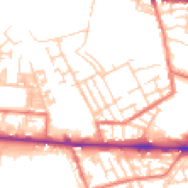
Daytime· 07:00 – 23:00
52.6dB

Night-time· 23:00 – 07:00
42.3dB