36a, Ashton Square, Dunstable, LU6 3SN
About 36a
36a is a mid-terrace house in Dunstable (LU6 3SN). It has a recorded floor area of 56 m² (around 603 sq ft), construction records dating it to 1900-1929 and council tax band A. At 56 m² this is the 3rd smallest of 4 units on EPC record in the building, where floor areas span 35–76 m². The building's EPC ratings span E to C, with this unit at the top. The latest certificate (November 2016) shows a C (score 73).
At 56 m² the property is well over the postcode median (43 m² across 3 EPCs), placing it in the larger end of the local stock. 2 planning records sit against the property, 2 approved, 0 refused. Past consents include change of use to residential, meaningful when judging how the property has evolved.
Everything you need to know about 36a
The true value, the hidden risks and the full sale history, in one report.
30-day money-back guarantee

The data behind every report


Energy performance
EPC Rating
Planning history
- Feb 2005Change of UseFullIn report
CHANGE OF USE FROM B1 TO RESIDENTIAL FLAT
- Documents
- 3 docs on file
- Reference
- SB/04/01597/FULL
- Feb 2005Change of UseFullIn report
CHANGE OF USE FROM B1 TO RESIDENTIAL FLAT
- Reference
- SB/04/01597
We flagged 2 things worth checking at 36a
Independent checks surfaced things a buyer would want to understand before offering. The report explains each one in full, with the underlying data and what to ask.
- Signs of HMO activity in the area
- Larger development activity nearby
30-day money-back guarantee
Sales history & valuation
36a has no Land Registry sales on file, suggesting it has stayed in the same hands since registration began.
£180,000
Modelled from EPC, postcode comparables.
No sales recorded with HM Land Registry
That can mean the property has never traded since the registry began publishing in 1995, was a new build that hasn't been registered yet, or is held in the same hands long-term.
Median price across the last 2 sales in LU6 3SN: £254,000 (2015–1997).
Versus other Ashton Square homes
36a outperforms the street on habitable rooms by a wide margin.
EPC Rating
73 (C)
Street avg 66 (D)
Floor Area
56 m²
Street avg 51 m²
CO₂ Emissions
2.0 t/year
Street avg 1.5 t/year
Habitable Rooms
3 rooms
Street avg 2 rooms
Everything you need to know about 36a
The true value, the hidden risks and the full sale history, in one report.
30-day money-back guarantee
The data behind every report
Similar properties nearby
The neighbourhood at a glance
Crime
3/mo
Steady year-on-year across the wider district.
Nearest stop
0.1 km
West Street — bus stop.
Closest school
0.3 km
Dunstable Icknield Lower School. 25 schools nearby.
Go deeper on the local area
The full report breaks down crime, transport links, schools and air quality in depth.
Road noise across the postcode
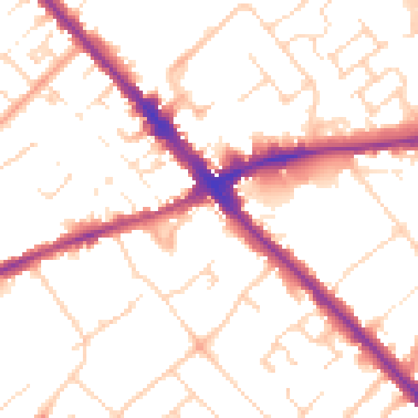
Daytime· 07:00 – 23:00
51.8dB

Night-time· 23:00 – 07:00
41.9dB