34a, Flat, Ashton Square, Dunstable, LU6 3SN
About 34a
34a is a mid-terrace house in Dunstable (LU6 3SN). It has a recorded floor area of 76 m² (around 818 sq ft) and construction records dating it to before 1900. The latest certificate (August 2023) shows a C (score 73). When first surveyed in November 2015 the rating was D, the property has climbed 1 band since. Between certificates, roof efficiency went from Very Poor to Good, window efficiency went from Average to Good and lighting went from Good to Very Good.
It hasn't traded since February 1997, a hold of 29 years that's notably long for the area. Only one transfer is on record with HM Land Registry, suggesting it has stayed in the same hands for a long time. At 76 m² the property is well over the postcode median (43 m² across 3 EPCs), placing it in the larger end of the local stock. Today's modelled estimate of £217,000 sits 274.1% above the 1997 sale of £58,000.
Everything you need to know about 34a
The true value, the hidden risks and the full sale history, in one report.
30-day money-back guarantee

The data behind every report


Energy performance
EPC Rating
Property Improvements
Changes detected from historical EPC data
Heating controls upgraded for better temperature management
Window efficiency improved
Loft insulation installed or upgraded to 250mm+
More low energy lighting installed
Planning history
34a has no planning applications on record.
Notable planning nearby
7applications of note in the surrounding area
We flagged 2 things worth checking at 34a
Independent checks surfaced things a buyer would want to understand before offering. The report explains each one in full, with the underlying data and what to ask.
- Signs of HMO activity in the area
- Larger development activity nearby
30-day money-back guarantee
Sales history & valuation
34a's estimated value is more than triple its earliest registered sale price (1997).
£217,000
Modelled from EPC, postcode comparables.
£58,000
Recorded with HM Land Registry.
Sales timeline
12 February 1997Most recent
£58,000
Median price across the last 1 sales in LU6 3SN: £450,000 (2015–2015).
Nearby sales in LU6 3SN
Versus other Ashton Square homes
On floor area, 34a stands well clear of the street.
EPC Rating
73 (C)
Street avg 66 (D)
Floor Area
76 m²
Street avg 45 m²
CO₂ Emissions
2.5 t/year
Street avg 1.4 t/year
Habitable Rooms
3 rooms
Street avg 2 rooms
Everything you need to know about 34a
The true value, the hidden risks and the full sale history, in one report.
30-day money-back guarantee
The data behind every report
Similar properties nearby
14 Parkside Flats, High Street South
LU6 3SE
10 Parkside Flats, High Street South
LU6 3SE
4 Parkside Flats, High Street South
LU6 3SE
23a, Flat, Poplar Road, Kensworth
LU6 3RS
15 Parkside Flats, High Street South
LU6 3SE
11 Parkside Flats, High Street South
LU6 3SE
6 Parkside Flats, High Street South
LU6 3SE
5 Parkside Flats, High Street South
LU6 3SE
The neighbourhood at a glance
Crime
3/mo
Steady year-on-year across the wider district.
Nearest stop
0.1 km
West Street — bus stop.
Closest school
0.3 km
Dunstable Icknield Lower School. 25 schools nearby.
Go deeper on the local area
The full report breaks down crime, transport links, schools and air quality in depth.
Road noise across the postcode
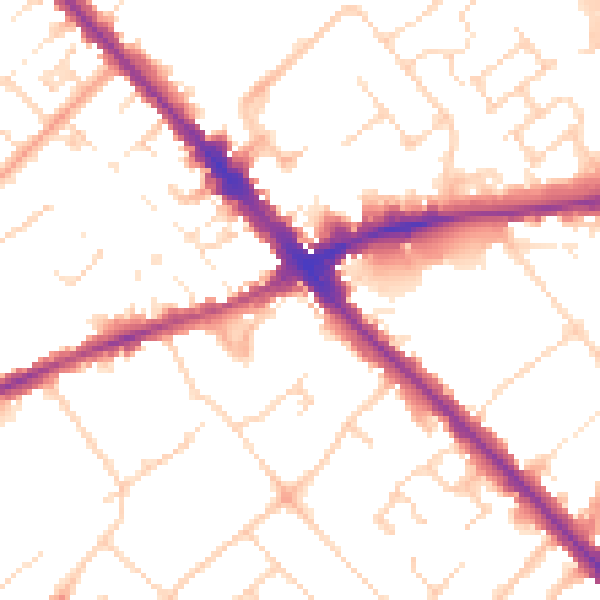
Daytime· 07:00 – 23:00
51.8dB

Night-time· 23:00 – 07:00
41.9dB