214a, Flat, West Street, Dunstable, LU6 1NX
About 214a
214a is a two-bedroom mid-terrace house in Dunstable (LU6 1NX). It has a recorded floor area of 62 m² (around 667 sq ft), construction records dating it to 1900-1929 and council tax band B. The latest certificate (October 2018) shows a D (score 57), a step below the typical UK home.
A recent sale: £135,000 in November 2025. Across 1998–2025, sale prices on this property compounded at 4.6% per year. Today's modelled estimate of £168,000 is 24.4% above the 2025 sale price. On a £-per-square-foot basis, the last sale (£202/sq ft) was about 18% above the typical sold price in the postcode.
What this property has
Inside
- Bedrooms2
Everything you need to know about 214a
The true value, the hidden risks and the full sale history, in one report.
30-day money-back guarantee

The data behind every report


Energy performance
EPC Rating
Planning history
214a has no planning applications on record.
Notable planning nearby
7applications of note in the surrounding area
We flagged 2 things worth checking at 214a
Independent checks surfaced things a buyer would want to understand before offering. The report explains each one in full, with the underlying data and what to ask.
- Signs of HMO activity in the area
- Larger development activity nearby
30-day money-back guarantee
Sales history & valuation
Sale price has grown by over 3x since 1998.
£168,000
Modelled from EPC, postcode comparables and a sale-price growth of 4.6% per year over 27 years.
£135,000
Growth on file: 4.6% per year over 27 years.
Sales timeline
7 November 2025Most recent
£135,000
+31.1%over 21 years27 June 2004
£103,000
+98.1%over 4 years22 July 1999
£52,000
+30.0%over 7 months10 December 1998
£40,000
Median price across the last 5 sales in LU6 1NX: £285,000 (2023–2021).
Nearby sales in LU6 1NX
Versus other West Street homes
On epc rating, 214a runs well behind the street norm.
EPC Rating
57 (D)
Street avg 73 (C)
Floor Area
62 m²
Street avg 56 m²
CO₂ Emissions
4.0 t/year
Street avg 2.1 t/year
Habitable Rooms
3 rooms
Street avg 2 rooms
Everything you need to know about 214a
The true value, the hidden risks and the full sale history, in one report.
30-day money-back guarantee
The data behind every report
Similar properties nearby
43 45, Flat 8, High Street North
LU6 1JE
46 48, Flat 4, West Street
LU6 1TA
62 68, Flat 1, West Street
LU6 1TA
43 45, Flat 11, High Street North
LU6 1JE
171a, Flat, West Street
LU6 1PD
46 48, Flat 1, West Street
LU6 1TA
43 45, Flat 10, High Street North
LU6 1JE
43 45, Flat 2, High Street North
LU6 1JE
The neighbourhood at a glance
Crime
3/mo
Steady year-on-year across the wider district.
Nearest stop
0.1 km
St Marys Church — bus stop.
Closest school
0.2 km
Ashton St Peter's VA C of E School. 23 schools nearby.
Go deeper on the local area
The full report breaks down crime, transport links, schools and air quality in depth.
Road noise across the postcode
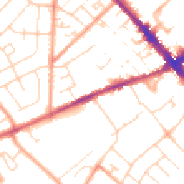
Daytime· 07:00 – 23:00
50.7dB

Night-time· 23:00 – 07:00
40.1dB