134a, High Street North, Dunstable, LU6 1LN
About 134a
134a is a semi-detached house in Dunstable (LU6 1LN). It has a recorded floor area of 37 m² (around 398 sq ft), construction records dating it to before 1900 and council tax band A. At 37 m² this is the 8th smallest of 36 units on EPC record in the building, where floor areas span 20–227 m². The building's EPC ratings span E to C, with this unit at the top. The latest certificate (December 2025) shows a C (score 70). When first surveyed in August 2010 the rating was D, the property has climbed 1 band since. Between certificates, hot-water efficiency went from Very Poor to Average and main heating went from Poor to Good; while wall efficiency dropped from Good to Very Poor and window efficiency dropped from Good to Average. The recommended improvements would push it to B (score 82). This certificate was lodged in the last six months, so the rating reflects current condition.
Untraded for 25 years, with the last transfer in May 2001. Across 1999–2001, sale prices on this property compounded at 18.7% per year. Today's modelled estimate of £143,000 sits 210.9% above the 2001 sale of £46,000. On a £-per-square-foot basis, the last sale (£116/sq ft) was about 40.5% below the postcode norm. At 37 m² it's 26% smaller than the typical home in the postcode (50 m² median across 35 EPCs).
Everything you need to know about 134a
The true value, the hidden risks and the full sale history, in one report.
30-day money-back guarantee

The data behind every report


Energy performance
The EPC has just been inspected, so the rating reflects current condition.
EPC Rating
Property Improvements
Changes detected from historical EPC data
Replaced storage heaters with gas boiler
Connected to mains gas supply
Heating controls upgraded for better temperature management
Hot water system upgraded
More low energy lighting installed
Heating controls changed
Wall insulation improved
Low energy lighting percentage decreased
Heating system changed
Changed to a more efficient fuel source
Heating controls changed
Hot water system changed
Windows upgraded, improving insulation
Wall insulation improved
More low energy lighting installed
Replaced storage heaters with gas boiler
Connected to mains gas supply
Heating controls upgraded for better temperature management
Hot water system upgraded
Planning history
134a has no planning applications on record.
Notable planning nearby
7applications of note in the surrounding area
We flagged 2 things worth checking at 134a
Independent checks surfaced things a buyer would want to understand before offering. The report explains each one in full, with the underlying data and what to ask.
- Signs of HMO activity in the area
- Larger development activity nearby
30-day money-back guarantee
Sales history & valuation
134a's modelled value sits at over four times its earliest registered sale price (1999).
£143,000
Modelled from EPC, postcode comparables and a sale-price growth of 18.7% per year over 2 years.
£46,000
Growth on file: 18.7% per year over 2 years.
Sales timeline
14 May 2001Most recent
£46,000
+46.0%over 2 years26 February 1999
£31,500
Median price across the last 5 sales in LU6 1LN: £262,000 (2023–2022).
Nearby sales in LU6 1LN
126b, High Street North, Dunstable, LU6 1LN
Sold Mar 2023
£262,000106 High Street North, Dunstable, LU6 1LN
Sold Oct 2022
£400,000136a, High Street North, Dunstable, LU6 1LN
Sold Jun 2022
£153,000116a, Flat, High Street North, Dunstable, LU6 1LN
Sold Mar 2022
£965,000134d, High Street North, Dunstable, LU6 1LN
Sold Feb 2022
£78,000
Versus other High Street North homes
134a outperforms the street on years held by a wide margin.
Price per m²
£1,243
Street avg £4,387
Floor Area
37 m²
Street avg 43 m²
Habitable Rooms
2 rooms
Street avg 2 rooms
CO₂ Emissions
1.6 t/year
Street avg 2.4 t/year
Everything you need to know about 134a
The true value, the hidden risks and the full sale history, in one report.
30-day money-back guarantee
The data behind every report
Similar properties nearby
The neighbourhood at a glance
Crime
3/mo
Steady year-on-year across the wider district.
Nearest stop
0.1 km
Park Street — bus stop.
Closest school
0.6 km
All Saints Academy Dunstable. 26 schools nearby.
Go deeper on the local area
The full report breaks down crime, transport links, schools and air quality in depth.
Road noise across the postcode
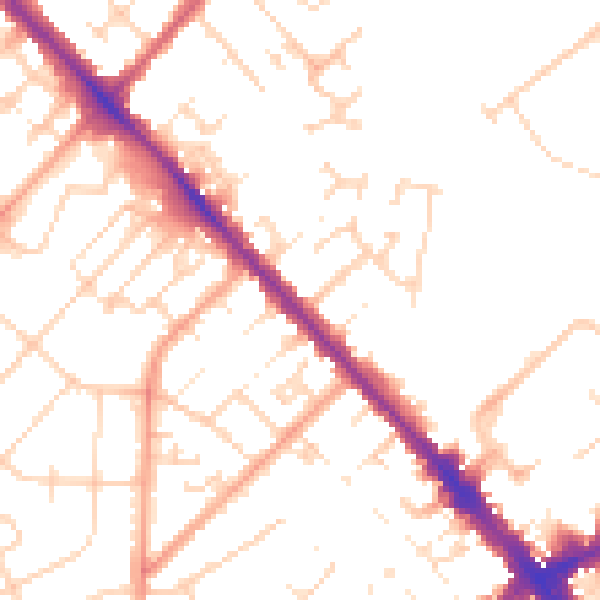
Daytime· 07:00 – 23:00
51.0dB

Night-time· 23:00 – 07:00
40.8dB