15 Brook Close, Dunstable, LU6 1HD
About 15 Brook Close
15 Brook Close is a three-bedroom end-of-terrace house in Dunstable (LU6 1HD). It has a recorded floor area of 111 m² (around 1195 sq ft), construction records dating it to 1996-2002 and council tax band C. The latest certificate (February 2025) shows a C (score 75), near the top of the C band. The recommended improvements would push it to B (score 85). The home occupies a corner plot.
At 111 m² the property is well over the postcode median (82 m² across 16 EPCs), placing it in the larger end of the local stock. Most recent transfer was June 2025 at £362,000 — fresh data. Across 2001–2025, sale prices on this property compounded at 3.2% per year. On a £-per-square-foot basis, the last sale (£303/sq ft) was about 52.8% above the typical sold price in the postcode.
What this property has
Inside
- Bedrooms3
- Bathrooms2
- EnsuiteYes
Outside
- Private gardenSide and rear
- GarageIntegral
- Corner plotYes
Building
- RefurbishedYes
Everything you need to know about 15 Brook Close
The true value, the hidden risks and the full sale history, in one report.
30-day money-back guarantee

The data behind every report


Energy performance
EPC Rating
Planning history
15 Brook Close has no planning applications on record.
Notable planning nearby
7applications of note in the surrounding area
We flagged 2 things worth checking at 15 Brook Close
Independent checks surfaced things a buyer would want to understand before offering. The report explains each one in full, with the underlying data and what to ask.
- Signs of HMO activity in the area
- Larger development activity nearby
30-day money-back guarantee
Sales history & valuation
Latest sale on 15 Brook Close was the highest on Land Registry record across the postcode.
£382,000
Modelled from EPC, postcode comparables and a sale-price growth of 3.2% per year over 24 years.
£362,000
Growth on file: 3.2% per year over 24 years.
Sales timeline
26 June 2025Most recent
£362,000
+88.5%over 22 years15 November 2002
£192,000
+11.3%over 1 year25 October 2001
£172,500
Median price across the last 5 sales in LU6 1HD: £300,000 (2025–2016).
Versus other Brook Close homes
15 Brook Close is notably below the street on years held.
Price per m²
£3,261
Street avg £2,725
Floor Area
111 m²
Street avg 84 m²
Habitable Rooms
5 rooms
Street avg 4 rooms
CO₂ Emissions
3.1 t/year
Street avg 2.6 t/year
Everything you need to know about 15 Brook Close
The true value, the hidden risks and the full sale history, in one report.
30-day money-back guarantee
The data behind every report
Similar properties nearby
1 Cheyne Close
LU6 1BX
1 Campian Close
LU6 1UD
1 Aldbanks
LU6 1AH
1 Barley Brow
LU6 1UJ
1 Church Green, Totternhoe
LU6 1RF
1 Benning Avenue
LU6 1PH
1 Albion Mews, Albion Street
LU6 1SH
1 Brightwell Avenue, Totternhoe
LU6 1QT
The neighbourhood at a glance
Crime
3/mo
Steady year-on-year across the wider district.
Nearest stop
0.1 km
Radburn Court — bus stop.
Closest school
0.3 km
Ashton St Peter's VA C of E School. 24 schools nearby.
Go deeper on the local area
The full report breaks down crime, transport links, schools and air quality in depth.
Road noise across the postcode
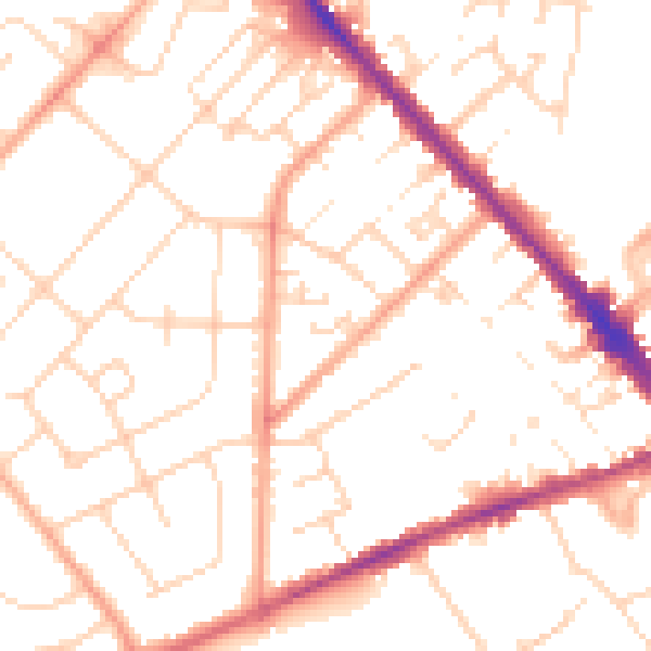
Daytime· 07:00 – 23:00
51.0dB

Night-time· 23:00 – 07:00
40.5dB