17 Beecroft Way, Dunstable, LU6 1ED
About 17 Beecroft Way
17 Beecroft Way is a three-bedroom semi-detached house in Dunstable (LU6 1ED). It has a recorded floor area of 84 m² (around 908 sq ft), construction records dating it to 1930-1949 and council tax band C. The latest certificate (April 2011) shows an E (score 46), well below the UK norm with real room to improve. The recommended improvements would push it to D (score 62). The latest certificate is from April 2011, so improvements made since then won't be reflected.
Today's modelled estimate of £303,000 sits 82.8% above the 2011 sale of £165,790. On a £-per-square-foot basis, the last sale (£182/sq ft) was about 30.8% below the postcode norm. It lags the bulk of the postcode on energy efficiency (less efficient than 87% of similar EPCs). Last changed hands 15 years ago, in August 2011.
What this property has
Inside
- Bedrooms3
Everything you need to know about 17 Beecroft Way
The true value, the hidden risks and the full sale history, in one report.
30-day money-back guarantee

The data behind every report


Energy performance
17 Beecroft Way's carbon output runs well above what efficient homes in the postcode produce.
EPC Expired
This certificate is over 10 years old and is no longer valid.Expired 26 Apr 2021
EPC Rating
Planning history
17 Beecroft Way has no planning applications on record.
Notable planning nearby
7applications of note in the surrounding area
We flagged 2 things worth checking at 17 Beecroft Way
Independent checks surfaced things a buyer would want to understand before offering. The report explains each one in full, with the underlying data and what to ask.
- Signs of HMO activity in the area
- Larger development activity nearby
30-day money-back guarantee
Sales history & valuation
17 Beecroft Way valuation sits well clear of the typical sold price in this postcode.
£303,000
Modelled from EPC, postcode comparables.
£165,790
Recorded with HM Land Registry.
Sales timeline
4 August 2011Most recent
£165,790
Median price across the last 5 sales in LU6 1ED: £310,000 (2024–2017).
Nearby sales in LU6 1ED
Versus other Beecroft Way homes
On epc rating, 17 Beecroft Way runs well behind the street norm.
Price per m²
£1,964
Street avg £3,222
Floor Area
84 m²
Street avg 91 m²
Habitable Rooms
4 rooms
Street avg 5 rooms
CO₂ Emissions
6.0 t/year
Street avg 4.4 t/year
Everything you need to know about 17 Beecroft Way
The true value, the hidden risks and the full sale history, in one report.
30-day money-back guarantee
The data behind every report
Similar properties nearby
1 Benning Avenue
LU6 1PH
1 Church Green, Totternhoe
LU6 1RF
1 Albion Mews, Albion Street
LU6 1SH
1 Barley Brow
LU6 1UJ
1 Aldbanks
LU6 1AH
1 Cheyne Close
LU6 1BX
1 Campian Close
LU6 1UD
1 Brook Close
LU6 1HD
The neighbourhood at a glance
Crime
3/mo
Steady year-on-year across the wider district.
Nearest stop
0.1 km
Loring Road — bus stop.
Closest school
0.4 km
Beecroft Academy. 22 schools nearby.
Go deeper on the local area
The full report breaks down crime, transport links, schools and air quality in depth.
Road noise across the postcode
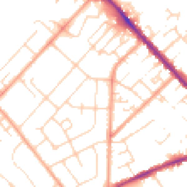
Daytime· 07:00 – 23:00
50.3dB

Night-time· 23:00 – 07:00
39.6dB