84a, Brewers Hill Road, Dunstable, LU6 1AE
About 84a
84a is a three-bedroom detached house in Dunstable (LU6 1AE). It has a recorded floor area of 107 m² (around 1152 sq ft), construction records dating it to 1991-1995 and council tax band D. The latest certificate (April 2024) shows a C (score 69), just inside the C band. When first surveyed in February 2014 the rating was D, the property has climbed 1 band since. Between certificates, window efficiency went from Average to Good and lighting went from Very Poor to Good. The recommended improvements would push it to B (score 82). Other recorded features include a conservatory.
Across 2014–2024, sale prices on this property compounded at 5.1% per year. On a £-per-square-foot basis, the last sale (£356/sq ft) was about 118.8% above the typical sold price in the postcode. 2 planning records sit against the property, 1 approved, 1 refused. Last sale on file: £410,000 in October 2024.
What this property has
Inside
- Bedrooms3
- Bathrooms1
- Dining roomYes
- CloakroomYes
- ConservatoryYes
Outside
- Private gardenRear
- DrivewayYes
Building
- RefurbishedYes
Everything you need to know about 84a
The true value, the hidden risks and the full sale history, in one report.
30-day money-back guarantee

The data behind every report


Energy performance
EPC Rating
Property Improvements
Changes detected from historical EPC data
Window efficiency improved
More low energy lighting installed
Planning history
- Feb 2010RenovationFullIn report
Erection of front boundary wall and railings with sliding metal gate (revised application CB/09/05796/FULL).
- Reference
- CB/09/06926/FULL
- Oct 2009RenovationFullIn report
Retention of front boundary wall with sliding metal gate
- Reference
- CB/09/05796/FULL
We flagged 2 things worth checking at 84a
Independent checks surfaced things a buyer would want to understand before offering. The report explains each one in full, with the underlying data and what to ask.
- Signs of HMO activity in the area
- Larger development activity nearby
30-day money-back guarantee
Sales history & valuation
84a valuation sits well clear of the typical sold price in this postcode.
£413,000
Modelled from EPC, postcode comparables and a sale-price growth of 5.1% per year over 10 years.
£410,000
Growth on file: 5.1% per year over 10 years.
Sales timeline
29 October 2024Most recent
£410,000
+67.3%over 10 years28 May 2014
£245,000
Median price across the last 5 sales in LU6 1AE: £396,000 (2024–2015).
Nearby sales in LU6 1AE
84 Brewers Hill Road, Dunstable, LU6 1AE
Sold Dec 2024
£650,00040 Brewers Hill Road, Dunstable, LU6 1AE
Sold May 2022
£362,00070 Brewers Hill Road, Dunstable, LU6 1AE
Sold Dec 2019
£583,00086 Brewers Hill Road, Dunstable, LU6 1AE
Sold Jul 2018
£297,50028 Brewers Hill Road, Dunstable, LU6 1AE
Sold Jul 2011
£168,000
Versus other Brewers Hill Road homes
On habitable rooms, 84a runs well behind the street norm.
Price per m²
£3,832
Street avg £2,672
Floor Area
107 m²
Street avg 104 m²
Habitable Rooms
4 rooms
Street avg 5 rooms
CO₂ Emissions
3.8 t/year
Street avg 2.9 t/year
Everything you need to know about 84a
The true value, the hidden risks and the full sale history, in one report.
30-day money-back guarantee
The data behind every report
Similar properties nearby
1 Campian Close
LU6 1UD
1 Cheyne Close
LU6 1BX
1 Aldbanks
LU6 1AH
1 Barley Brow
LU6 1UJ
1 Church Green, Totternhoe
LU6 1RF
1 Benning Avenue
LU6 1PH
1 Albion Mews, Albion Street
LU6 1SH
1 Brightwell Avenue, Totternhoe
LU6 1QT
The neighbourhood at a glance
Daytime road noise here sits well below conversation level — a quiet pocket of the postcode.
Crime
3/mo
Steady year-on-year across the wider district.
Nearest stop
0.0 km
Langridge Court — bus stop.
Closest school
0.4 km
Beecroft Academy. 19 schools nearby.
Go deeper on the local area
The full report breaks down crime, transport links, schools and air quality in depth.
Road noise across the postcode
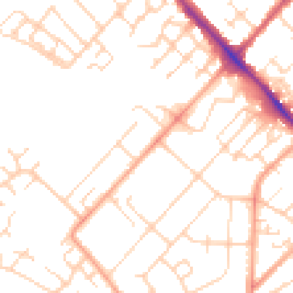
Daytime· 07:00 – 23:00
49.4dB

Night-time· 23:00 – 07:00
38.9dB