54 Buckingham Drive, Luton, LU2 9RA
About 54 Buckingham Drive
54 Buckingham Drive is a four-bedroom semi-detached house in Luton (LU2 9RA). It has a recorded floor area of 96 m² (around 1033 sq ft), construction records dating it to 1967-1975 and council tax band C. The latest certificate (July 2023) shows a C (score 69), just inside the C band. The recommended improvements would push it to B (score 82).
One planning record on file: an extension approved in 2006. Past consents include an extension, meaningful when judging how the property has evolved. At 96 m² it's 24.7% larger than the typical home in the postcode (77 m² median across 29 EPCs). Across 2006–2023, sale prices on this property compounded at 9.9% per year. On a £-per-square-foot basis, the last sale (£373/sq ft) was about 98.1% above the typical sold price in the postcode. Sold September 2023 for £385,000.
What this property has
Inside
- Bedrooms4
- Bathrooms2
Everything you need to know about 54 Buckingham Drive
The true value, the hidden risks and the full sale history, in one report.
30-day money-back guarantee

The data behind every report


Energy performance
EPC Rating
Planning history
54 Buckingham Drive has an approved single-storey front extension on the planning record.
- Dec 2006ExtensionOutlineIn report
Extension: Single storey · Front of property
Erection of single storey front extension
- Reference
- 06/01516/LAWP
What's in 54 Buckingham Drive, Luton, LU2 9RA's planning history?
Refusals, disputes and full decisions on this property and nearby, in the report.
Sales history & valuation
54 Buckingham Drive has more than quadrupled in price since its earliest registered sale in 2006.
£406,000
Modelled from EPC, postcode comparables and a sale-price growth of 9.9% per year over 17 years.
£385,000
Growth on file: 9.9% per year over 17 years.
Sales timeline
28 September 2023Most recent
£385,000
+409.3%over 17 years25 July 2006
£75,590
Median price across the last 5 sales in LU2 9RA: £320,000 (2024–2021).
Nearby sales in LU2 9RA
Versus other Buckingham Drive homes
54 Buckingham Drive is notably below the street on years held.
Price per m²
£4,010
Street avg £2,738
Floor Area
96 m²
Street avg 86 m²
Habitable Rooms
5 rooms
Street avg 5 rooms
CO₂ Emissions
3.6 t/year
Street avg 3.4 t/year
Everything you need to know about 54 Buckingham Drive
The true value, the hidden risks and the full sale history, in one report.
30-day money-back guarantee
The data behind every report
Similar properties nearby
The neighbourhood at a glance
Daytime road noise here sits well below conversation level — a quiet pocket of the postcode.
Crime
6/mo
Steady year-on-year across the wider district.
Nearest stop
0.1 km
Lalleford Road — bus stop.
Closest school
0.2 km
Queen Elizabeth School. 19 schools nearby.
Go deeper on the local area
The full report breaks down crime, transport links, schools and air quality in depth.
Road noise across the postcode
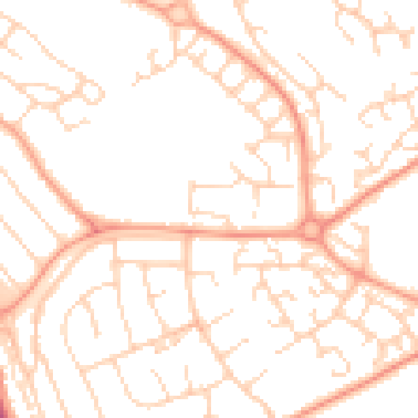
Daytime· 07:00 – 23:00
49.7dB

Night-time· 23:00 – 07:00
38.0dB