4 Buckingham Drive, Luton, LU2 9RA
About 4 Buckingham Drive
4 Buckingham Drive is a four-bedroom mid-terrace house in Luton (LU2 9RA). It has a recorded floor area of 115 m² (around 1238 sq ft), construction records dating it to 1967-1975 and council tax band C. The latest certificate (August 2019) shows a C (score 69), just inside the C band. The recommended improvements would push it to B (score 81).
At 115 m² the property is well over the postcode median (77 m² across 29 EPCs), placing it in the larger end of the local stock. Across 1998–2021, sale prices on this property compounded at 6.2% per year. Today's modelled estimate of £355,000 is 22.4% above the 2021 sale price. On a £-per-square-foot basis, the last sale (£234/sq ft) was about 24.3% above the typical sold price in the postcode. Most recent transfer: April 2021 at £290,000. That sale was during the post-pandemic price surge, when transactions cleared materially above pre-2020 trend.
What this property has
Inside
- Bedrooms4
- Bathrooms2
Everything you need to know about 4 Buckingham Drive
The true value, the hidden risks and the full sale history, in one report.
30-day money-back guarantee

The data behind every report


Energy performance
EPC Rating
Planning history
4 Buckingham Drive has no planning applications on record.
Notable planning nearby
1applications of note in the surrounding area
Sales history & valuation
Sale price has grown by over 3x since 1998.
£355,000
Modelled from EPC, postcode comparables and a sale-price growth of 6.2% per year over 23 years.
£290,000
Growth on file: 6.2% per year over 23 years.
Sales timeline
8 April 2021Most recent
£290,000
+67.6%over 14 years12 April 2006
£173,000
+137.0%over 8 years2 April 1998
£73,000
Median price across the last 5 sales in LU2 9RA: £362,500 (2024–2021).
Nearby sales in LU2 9RA
Versus other Buckingham Drive homes
4 Buckingham Drive outperforms the street on floor area by a wide margin.
Price per m²
£2,522
Street avg £2,798
Floor Area
115 m²
Street avg 85 m²
Habitable Rooms
6 rooms
Street avg 5 rooms
CO₂ Emissions
4.1 t/year
Street avg 3.4 t/year
Everything you need to know about 4 Buckingham Drive
The true value, the hidden risks and the full sale history, in one report.
30-day money-back guarantee
The data behind every report
Similar properties nearby
The neighbourhood at a glance
Daytime road noise here sits well below conversation level — a quiet pocket of the postcode.
Crime
6/mo
Steady year-on-year across the wider district.
Nearest stop
0.1 km
Lalleford Road — bus stop.
Closest school
0.2 km
Queen Elizabeth School. 19 schools nearby.
Go deeper on the local area
The full report breaks down crime, transport links, schools and air quality in depth.
Road noise across the postcode
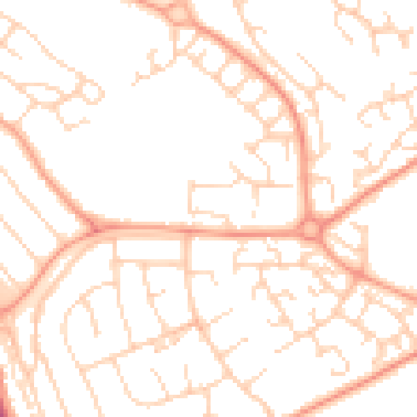
Daytime· 07:00 – 23:00
49.7dB

Night-time· 23:00 – 07:00
38.0dB