2 Chertsey Close, Luton, LU2 9JD
About 2 Chertsey Close
2 Chertsey Close is a two-bedroom mid-terrace house in Luton (LU2 9JD). It has a recorded floor area of 56 m² (around 603 sq ft), construction records dating it to 1967-1975 and council tax band B. The latest certificate (July 2021) shows a C (score 79), near the top of the C band. Earlier certificates rated it B (April 2011); the latest reading is one band lower. Between certificates, wall efficiency dropped from Good to Average. At 56 m² this is the 12th smallest of 45 units on EPC record in the building, where floor areas span 24–130 m². The building's EPC ratings span F to B across 45 units on file.
Held since January 2005 — that's 21 years off the open market, well above the local norm. Today's modelled estimate of £174,000 sits 58.2% above the 2005 sale of £110,000. On a £-per-square-foot basis, the last sale (£182/sq ft) was about 21.5% above the typical sold price in the postcode. At 56 m² it sits well below the postcode median (96 m² across 44 EPCs), making it one of the more compact homes locally.
What this property has
Inside
- Bedrooms2
- Bathrooms1
Everything you need to know about 2 Chertsey Close
The true value, the hidden risks and the full sale history, in one report.
30-day money-back guarantee

The data behind every report


Energy performance
2 Chertsey Close's carbon output is low for the local stock.
EPC Rating
Planning history
2 Chertsey Close has no planning applications on record.
Notable planning nearby
1applications of note in the surrounding area
Sales history & valuation
2 Chertsey Close valuation sits well clear of the typical sold price in this postcode.
£174,000
Modelled from EPC, postcode comparables.
£110,000
Recorded with HM Land Registry.
Sales timeline
21 January 2005Most recent
£110,000
Median price across the last 5 sales in LU2 9JD: £246,000 (2025–2021).
Versus other Chertsey Close homes
2 Chertsey Close outperforms the street on epc rating by a wide margin.
Price per m²
£1,964
Street avg £2,468
Floor Area
56 m²
Street avg 38 m²
Habitable Rooms
3 rooms
Street avg 2 rooms
CO₂ Emissions
1.4 t/year
Street avg 2.0 t/year
Everything you need to know about 2 Chertsey Close
The true value, the hidden risks and the full sale history, in one report.
30-day money-back guarantee
The data behind every report
Similar properties nearby
1 Chertsey Close
LU2 9JD
1 Chelsworth Close
LU2 9SU
1 Baylam Dell
LU2 9ST
1 Carteret Road
LU2 9JY
1 Barnston Close
LU2 9RZ
1 Byron Close, Ashcroft Road
LU2 9AE
1 Eastcott Close
LU2 9JP
1 Ardleigh Green
LU2 9SS
The neighbourhood at a glance
Crime
6/mo
Steady year-on-year across the wider district.
Nearest stop
0.1 km
Chertsey Close — bus stop.
Closest school
0.7 km
Queen Elizabeth School. 18 schools nearby.
Go deeper on the local area
The full report breaks down crime, transport links, schools and air quality in depth.
Road noise across the postcode
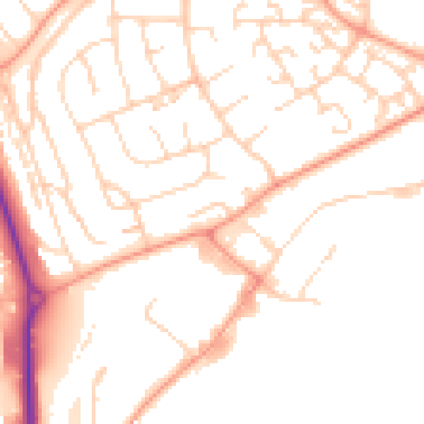
Daytime· 07:00 – 23:00
50.3dB

Night-time· 23:00 – 07:00
39.6dB