Skip to content

18 Brays Road, Luton, LU2 9DD

Property type
Mid terrace
Bedrooms
3
Floor area
84 m²
904 sq ft
Energy rating
D
Score 67
Council tax
Band B
Tenure
Private Rental
Overview

About 18 Brays Road

A plain-English summary derived from public records, EPC certificates, sold prices and local data.

18 Brays Road is a three-bedroom mid-terrace house in Luton (LU2 9DD). It has a recorded floor area of 84 m² (around 904 sq ft), construction records dating it to 1950-1966 and council tax band B. The latest certificate (March 2017) shows a D (score 67), on the cusp of jumping into the C band. The recommended improvements would lift it to B (score 84), a 2-band jump.

Held since August 2004 — that's 22 years off the open market, well above the local norm. Across 1999–2004, sale prices on this property compounded at 17.8% per year. Today's modelled estimate of £324,000 sits 134.8% above the 2004 sale of £138,000. On a £-per-square-foot basis, the last sale (£153/sq ft) was about 19.9% below the postcode norm.

Specifications

What this property has

Pulled from EPC certificates, claim submissions and our property model. Empty categories are hidden — we only show what's known.

Inside

  • Bedrooms3
  • CloakroomYes

Outside

  • Private gardenYes
  • GarageYes

Building

  • Heating systemElectric
  • RefurbishedYes
Before you decide

Everything you need to know about 18 Brays Road

The true value, the hidden risks and the full sale history, in one report.

£14.99one-off

30-day money-back guarantee

Preview of the full property report

The data behind every report

  • HM Land Registry, source of sold price history
  • Department for Education, source of schools data
  • Police.uk, source of crime statistics
  • Department for Transport, source of stations and transport links
  • Environment Agency, source of flood risk data
  • Department for Environment, Food & Rural Affairs, source of road noise data
  • PlanIt, source of planning application records
Energy

Energy performance

Every EPC certificate filed against this property — current rating, recorded improvements, and where there's headroom to reach a higher band.

Recommended upgrades on file would lift this property by multiple EPC bands.

EPC Rating

A
B
C
D
D67
E
F
G
Main Heating
Gas
Main Fuel
Gas
Hot Water
Good
Windows
Average
CO2 Emissions
3.2 t/year
Occupancy
Rented
Planning

Planning history

Applications and permits filed against 18 Brays Road, Luton, LU2 9DD, sourced from the PlanIt planning register.

18 Brays Road has no planning applications on record.

Notable planning nearby

1applications of note in the surrounding area

Price

Sales history & valuation

Recorded transactions, our model's current estimate, and a quick read on what neighbouring properties have sold for.

Sale price has at least doubled since 1999.

Current estimate

£324,000

Modelled from EPC, postcode comparables and a sale-price growth of 17.8% per year over 5 years.

See how we calculated this
Last sold (2004)

£138,000

Growth on file: 17.8% per year over 5 years.

Sales timeline

  1. 18 August 2004Most recent

    £138,000

    +120.8%over 4 years
  2. 21 October 1999

    £62,500

Median price across the last 5 sales in LU2 9DD: £287,000 (2024–2021).

On the street

Versus other Brays Road homes

Four headline reads against 29 similar houses on this street, drawn from the latest EPC and Land Registry data.

On years held, 18 Brays Road stands well clear of the street.

Price per m²

£1,643

Street avg £2,655

Strongly below

Floor Area

84 m²

Street avg 84 m²

On par

Habitable Rooms

5 rooms

Street avg 5 rooms

Above

CO₂ Emissions

3.2 t/year

Street avg 3.2 t/year

On par
Before you decide

Everything you need to know about 18 Brays Road

The true value, the hidden risks and the full sale history, in one report.

£14.99one-off

30-day money-back guarantee

Preview of the full property report

The data behind every report

  • HM Land Registry, source of sold price history
  • Department for Education, source of schools data
  • Police.uk, source of crime statistics
  • Department for Transport, source of stations and transport links
  • Environment Agency, source of flood risk data
  • Department for Environment, Food & Rural Affairs, source of road noise data
  • PlanIt, source of planning application records
Area

The neighbourhood at a glance

A condensed read of the local area. Each tile links through to the full breakdown on the Luton district page.

Crime

6/mo

Steady year-on-year across the wider district.

Nearest stop

0.1 km

Brays Road — bus stop.

Closest school

0.4 km

Sacred Heart Catholic Primary School. 24 schools nearby.

Go deeper on the local area

The full report breaks down crime, transport links, schools and air quality in depth.

Noise

Road noise across the postcode

Modelled day and night-time noise levels around LU2 9DD from Defra's strategic mapping. The pin marks this postcode's centroid.
Daytime road noise heatmap for LU2 9DD

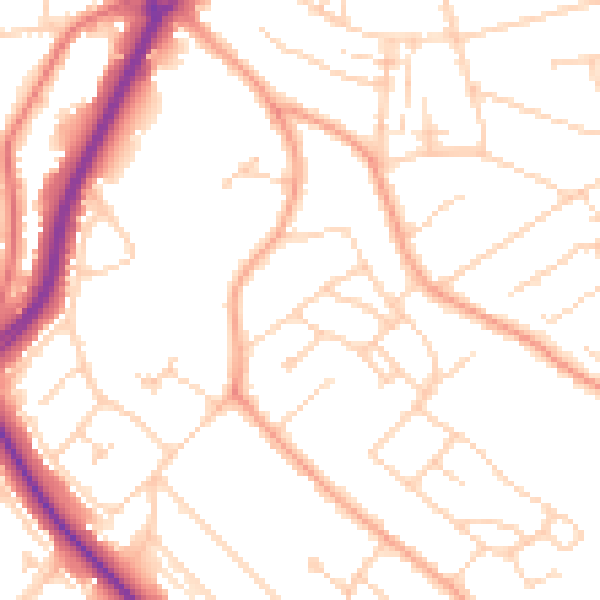
Daytime· 07:00 – 23:00

50.7dB

Low
Night-time road noise heatmap for LU2 9DD

Night-time· 23:00 – 07:00

40.3dB

Low
55 dB
60 dB
65 dB
70 dB
75 dB
80 dB
Defra Road Noise Strategic Mapping, Round 4
FAQ

Common questions

The questions buyers, sellers and homeowners most often ask about 18 Brays Road, Luton, LU2 9DD. Each answer is also embedded as structured data for search engines.