43a, Lothair Road, Luton, LU2 7XB
About 43a
43a is a detached house in Luton (LU2 7XB). It has a recorded floor area of 61 m² (around 657 sq ft), construction records dating it to 2003-2006 and council tax band C. The latest certificate (February 2026) shows a C (score 75), near the top of the C band. The rating has held steady at C across 2 certificates since January 2009. Between certificates, roof efficiency went from Good to Very Good; while window efficiency dropped from Good to Average and hot-water efficiency dropped from Very Good to Good. This certificate was lodged in the last six months, so the rating reflects current condition.
At 61 m² it's 29.5% smaller than the typical home in the postcode (87 m² median across 58 EPCs).
Everything you need to know about 43a
The true value, the hidden risks and the full sale history, in one report.
30-day money-back guarantee

The data behind every report


Energy performance
The EPC has just been inspected, so the rating reflects current condition.
EPC Rating
Property Improvements
Changes detected from historical EPC data
Hot water efficiency decreased
Roof insulation improved
More low energy lighting installed
Planning history
43a has no planning applications on record.
Notable planning nearby
26applications of note in the surrounding area
We flagged 2 things worth checking at 43a
Independent checks surfaced things a buyer would want to understand before offering. The report explains each one in full, with the underlying data and what to ask.
- Signs of HMO activity in the area
- Larger development activity nearby
30-day money-back guarantee
Sales history & valuation
43a has no Land Registry sales on file, suggesting it has stayed in the same hands since registration began.
£266,000
Modelled from EPC, postcode comparables.
No sales recorded with HM Land Registry
That can mean the property has never traded since the registry began publishing in 1995, was a new build that hasn't been registered yet, or is held in the same hands long-term.
Median price across the last 5 sales in LU2 7XB: £370,000 (2025–2024).
Nearby sales in LU2 7XB
Versus other Lothair Road homes
43a is notably below the street on floor area.
EPC Rating
75 (C)
Street avg 62 (D)
Floor Area
61 m²
Street avg 105 m²
CO₂ Emissions
1.7 t/year
Street avg 4.9 t/year
Habitable Rooms
3 rooms
Street avg 5 rooms
Everything you need to know about 43a
The true value, the hidden risks and the full sale history, in one report.
30-day money-back guarantee
The data behind every report
Similar properties nearby
The neighbourhood at a glance
Daytime road noise here sits well below conversation level — a quiet pocket of the postcode.
Crime
6/mo
Steady year-on-year across the wider district.
Nearest stop
0.2 km
Lothair Road — bus stop.
Closest school
0.3 km
Stopsley Community Primary School. 26 schools nearby.
Go deeper on the local area
The full report breaks down crime, transport links, schools and air quality in depth.
Road noise across the postcode
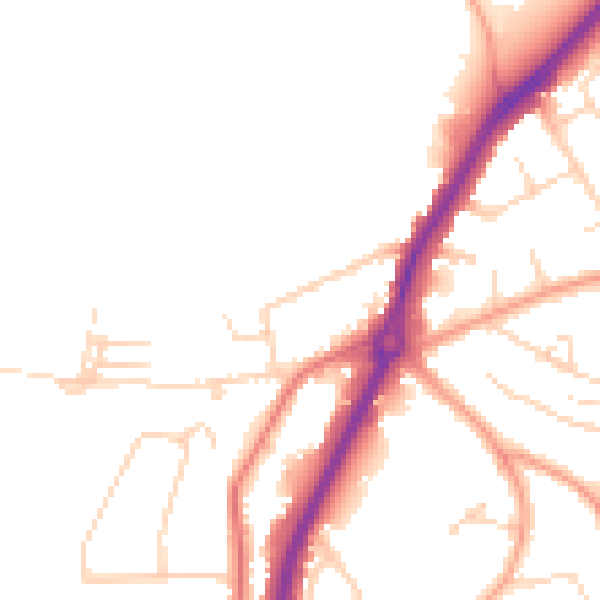
Daytime· 07:00 – 23:00
48.5dB

Night-time· 23:00 – 07:00
40.2dB