17 Chartwell Drive, Luton, LU2 7JD
About 17 Chartwell Drive
17 Chartwell Drive is a four-bedroom detached house in Luton (LU2 7JD). It has a recorded floor area of 146 m² (around 1572 sq ft), construction records dating it to 1967-1975 and council tax band F. The latest certificate (October 2019) shows a D (score 60), on the cusp of jumping into the C band. The recommended improvements would push it to C (score 75).
Across 1996–2020, sale prices on this property compounded at 6.5% per year. Today's modelled estimate of £589,000 is 24% above the 2020 sale price. On a £-per-square-foot basis, the last sale (£302/sq ft) was about 39.3% above the typical sold price in the postcode. Sold March 2020 for £475,000.
What this property has
Inside
- Bedrooms4
- Bathrooms2
- EnsuiteYes
Outside
- GarageDouble
Building
- Central heatingYes
- RefurbishedYes
Everything you need to know about 17 Chartwell Drive
The true value, the hidden risks and the full sale history, in one report.
30-day money-back guarantee

The data behind every report


Energy performance
17 Chartwell Drive's carbon output runs well above what efficient homes in the postcode produce.
EPC Rating
Planning history
17 Chartwell Drive has no planning applications on record.
Notable planning nearby
26applications of note in the surrounding area
We flagged 2 things worth checking at 17 Chartwell Drive
Independent checks surfaced things a buyer would want to understand before offering. The report explains each one in full, with the underlying data and what to ask.
- Signs of HMO activity in the area
- Larger development activity nearby
30-day money-back guarantee
Sales history & valuation
Price for 17 Chartwell Drive has grown more than fourfold since the 1996 starting point.
£589,000
Modelled from EPC, postcode comparables and a sale-price growth of 6.5% per year over 23 years.
£475,000
Growth on file: 6.5% per year over 23 years.
Sales timeline
12 March 2020Most recent
£475,000
+331.8%over 23 years12 November 1996
£110,000
Median price across the last 5 sales in LU2 7JD: £525,000 (2025–2022).
Versus other Chartwell Drive homes
Price per m²
£3,253
Street avg £2,779
Floor Area
146 m²
Street avg 139 m²
Habitable Rooms
7 rooms
Street avg 7 rooms
CO₂ Emissions
6.9 t/year
Street avg 5.8 t/year
Everything you need to know about 17 Chartwell Drive
The true value, the hidden risks and the full sale history, in one report.
30-day money-back guarantee
The data behind every report
Similar properties nearby
The neighbourhood at a glance
Daytime road noise here sits well below conversation level — a quiet pocket of the postcode.
Crime
6/mo
Steady year-on-year across the wider district.
Nearest stop
0.3 km
Priory Gardens — bus stop.
Closest school
0.5 km
Luton Sixth Form College. 36 schools nearby.
Go deeper on the local area
The full report breaks down crime, transport links, schools and air quality in depth.
Road noise across the postcode
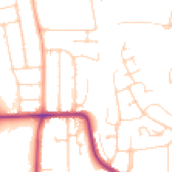
Daytime· 07:00 – 23:00
49.8dB

Night-time· 23:00 – 07:00
40.1dB