11 Chartwell Drive, Luton, LU2 7JD
About 11 Chartwell Drive
11 Chartwell Drive is a four-bedroom detached house in Luton (LU2 7JD). It has a recorded floor area of 140 m² (around 1507 sq ft), construction records dating it to 1967-1975 and council tax band F. The latest certificate (November 2022) shows a D (score 66), on the cusp of jumping into the C band. The recommended improvements would lift it to B (score 84), a 2-band jump. The home occupies a cul-de-sac position.
Today's modelled estimate of £593,000 is 10.8% above the 2023 sale price. On a £-per-square-foot basis, the last sale (£355/sq ft) was about 64.6% above the typical sold price in the postcode. Most recent transfer: March 2023 at £535,000.
What this property has
Inside
- Bedrooms4
- Bathrooms2
- Dining roomYes
- EnsuiteYes
Outside
- Private gardenRear
- GarageDouble
- Cul-de-sacYes
Building
- RefurbishedYes
Everything you need to know about 11 Chartwell Drive
The true value, the hidden risks and the full sale history, in one report.
30-day money-back guarantee

The data behind every report


Energy performance
Recommended upgrades on file would lift this property by multiple EPC bands.
EPC Rating
Planning history
11 Chartwell Drive has no planning applications on record.
Notable planning nearby
26applications of note in the surrounding area
We flagged 2 things worth checking at 11 Chartwell Drive
Independent checks surfaced things a buyer would want to understand before offering. The report explains each one in full, with the underlying data and what to ask.
- Signs of HMO activity in the area
- Larger development activity nearby
30-day money-back guarantee
Sales history & valuation
11 Chartwell Drive valuation sits well clear of the typical sold price in this postcode.
£593,000
Modelled from EPC, postcode comparables.
£535,000
Recorded with HM Land Registry.
Sales timeline
14 March 2023Most recent
£535,000
Median price across the last 5 sales in LU2 7JD: £510,000 (2025–2021).
Versus other Chartwell Drive homes
Price per m² for 11 Chartwell Drive runs comfortably ahead of the street norm.
Price per m²
£3,821
Street avg £2,741
Floor Area
140 m²
Street avg 140 m²
Habitable Rooms
6 rooms
Street avg 7 rooms
CO₂ Emissions
5.6 t/year
Street avg 5.9 t/year
Everything you need to know about 11 Chartwell Drive
The true value, the hidden risks and the full sale history, in one report.
30-day money-back guarantee
The data behind every report
Similar properties nearby
The neighbourhood at a glance
Daytime road noise here sits well below conversation level — a quiet pocket of the postcode.
Crime
6/mo
Steady year-on-year across the wider district.
Nearest stop
0.3 km
Priory Gardens — bus stop.
Closest school
0.5 km
Luton Sixth Form College. 36 schools nearby.
Go deeper on the local area
The full report breaks down crime, transport links, schools and air quality in depth.
Road noise across the postcode
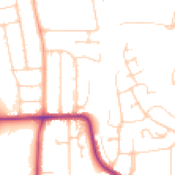
Daytime· 07:00 – 23:00
49.8dB

Night-time· 23:00 – 07:00
40.1dB