131a, Street Lane, Leeds, LS8 1BD
About 131a
131a is a semi-detached house in Leeds (LS8 1BD). It has a recorded floor area of 57 m² (around 614 sq ft) and construction records dating it to 1930-1949. At 57 m² this is the smallest unit on EPC record across the building (57–159 m²). The building's EPC ratings span E to C, with this unit at the top. The latest certificate (April 2020) shows a C (score 70). The rating has held steady at C across 4 certificates since October 2008. Between certificates, lighting went from Very Poor to Very Good.
At 57 m² it sits well below the postcode median (106 m² across 3 EPCs), making it one of the more compact homes locally. Last changed hands 12 years ago, in December 2013. Across 2008–2013, sale prices on this property compounded at 0.8% per year. Today's modelled estimate of £191,000 is 25.7% above the 2013 sale price.
Know exactly what you're buying at 131a
Before you offer, see what the listing won't tell you, the true value, the red flags and the full history.
Valuation
against the asking price
Risks
planning & flood
Sold prices
similar homes nearby
Trends
the local market
Energy performance
EPC Rating
Property Improvements
Changes detected from historical EPC data
Heating controls upgraded for better temperature management
Window efficiency improved
Heating controls changed
More low energy lighting installed
Heating controls upgraded for better temperature management
Windows upgraded, improving insulation
Planning history
131a has no planning applications on record.
The full report still covers planning activity across the surrounding area.
Sales history & valuation
£191,000
Modelled from EPC, postcode comparables and a sale-price growth of 0.8% per year over 6 years.
£152,000
Growth on file: 0.8% per year over 6 years.
Sales timeline
20 December 2013Most recent
£152,000
+4.8%over 5 years28 January 2008
£145,000
Median price across the last 5 sales in LS8 1BD: £195,000 (2022–2008).
Everything we know about 131a, in one report
What it's really worth, what could be wrong, and the planning, sales and area data in full.
- Am I paying too much?
- Is something wrong with it?
- Is the agent's story true?
- Will it hold its value?

Similar properties nearby
The neighbourhood at a glance
Crime
4/mo
Steady year-on-year across the wider district.
Nearest stop
0.1 km
Devonshire Avenue — bus stop.
Closest school
0.3 km
Talbot Primary School. 26 schools nearby.
Go deeper on the local area
The full report breaks down crime, transport links, schools and air quality in depth.
Road noise across the postcode
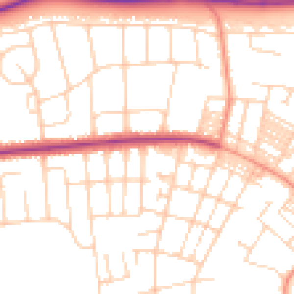
Daytime· 07:00 – 23:00
51.3dB

Night-time· 23:00 – 07:00
40.9dB