4 Ashburn Place, Ilkley, LS29 9NW
About 4 Ashburn Place
4 Ashburn Place is a three-bedroom mid-terrace house in Ilkley (LS29 9NW). It has a recorded floor area of 131 m² (around 1414 sq ft), construction records dating it to 1967-1975 and council tax band D. The latest certificate (October 2008) shows a D (score 68), on the cusp of jumping into the C band. The recommended improvements would push it to C (score 73). The latest certificate is from October 2008, so improvements made since then won't be reflected. Other recorded features include a conservatory. Records show the property has been extended at some point in its history.
10 years since the last transfer (July 2016). Across the public record there are 5 sales, relatively high churn for a single property. 2 planning records sit against the property, 1 approved, 0 refused. Past consents include an extension and a conservatory, meaningful when judging how the property has evolved. Across 2000–2016, sale prices on this property compounded at 8.7% per year. Today's modelled estimate of £471,000 is 29% above the 2016 sale price. On a £-per-square-foot basis, the last sale (£258/sq ft) was about 23.6% above the typical sold price in the postcode.
Know exactly what you're buying at 4 Ashburn Place
Before you offer, see what the listing won't tell you, the true value, the red flags and the full history.
Already flagged here
Valuation
against the asking price
Risks
planning & flood
Sold prices
similar homes nearby
Trends
the local market
What this property has
Inside
- Bedrooms3
- Bathrooms1
- Dining roomYes
- CloakroomYes
- StudyYes
- ConservatoryYes
Outside
- Private gardenSouth-facing
Building
- Previously extendedYes
- RefurbishedYes
Energy performance
4 Ashburn Place's EPC is over a decade old — improvements since won't be reflected.
EPC Expired
This certificate is over 10 years old and is no longer valid.Expired 24 Oct 2018
EPC Rating
Planning history
4 Ashburn Place has an approved rear extension on the planning record.
- Nov 2014ConservatoryFullIn report
Extension: Rear of property
Construction of rear conservatory
- Agent
- Prohaus Design Limited
Extension- Documents
- 10 docs on file
- Reference
- 14/04418/HOU
- Aug 2010Tree WorksTreesIn report
Fir on boundary between 2 & 4 Ashburn Place - Fell - Excessive shading and potential danger if it should fail.
- Reference
- 10/03873/CPN
We flagged 1 thing worth checking at 4 Ashburn Place
Independent checks surfaced things a buyer would want to understand before offering. The report explains each one in full, with the underlying data and what to ask.
- Larger development activity nearby
30-day money-back guarantee
Sales history & valuation
Sale price has grown by over 3x since 2000.
£471,000
Modelled from EPC, postcode comparables and a sale-price growth of 8.7% per year over 16 years.
£365,000
Growth on file: 8.7% per year over 16 years.
Sales timeline
24 July 2016Most recent
£365,000
+49.0%over 6 years27 August 2009
£245,000
21 July 2005
£245,000
+29.3%over 2 years10 March 2003
£189,500
+104.9%over 3 years16 February 2000
£92,500
Median price across the last 5 sales in LS29 9NW: £540,000 (2024–2016).
Everything we know about 4 Ashburn Place, in one report
What it's really worth, what could be wrong, and the planning, sales and area data in full.
What we flagged
- Larger development activity nearby

Versus other Ashburn Place homes
4 Ashburn Place outperforms the street on co₂ emissions by a wide margin.
Price per m²
£2,779
Street avg £3,154
Floor Area
131 m²
Street avg 155 m²
Habitable Rooms
5 rooms
Street avg 8 rooms
CO₂ Emissions
4.7 t/year
Street avg 7.5 t/year
Similar properties nearby
1 Castle Hill
LS29 9FD
1 Beverley Rise
LS29 9DB
1 Chantry Close
LS29 9JA
1 Eaton Road
LS29 9PU
1 Annandale Court
LS29 9SZ
1 Bolton Bridge Road
LS29 9AA
1 Castle Mews, Castle Hill
LS29 9FE
1 Alexandra Crescent
LS29 9ER
The neighbourhood at a glance
Rail-style transport is unusually close for this postcode.
Crime
3/mo
Steady year-on-year across the wider district.
Nearest stop
0.1 km
Parish Ghyll Drive Albany Walk — bus stop.
Closest school
0.6 km
All Saints' CofE Primary School. 5 schools nearby.
Go deeper on the local area
The full report breaks down crime, transport links, schools and air quality in depth.
Road noise across the postcode
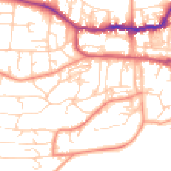
Daytime· 07:00 – 23:00
52.8dB

Night-time· 23:00 – 07:00
40.9dB