143a, Wakefield Road, Garforth, Leeds, LS25 1AT
About 143a
143a is a four-bedroom detached house in Garforth, Leeds, Leeds (LS25 1AT). It has a recorded floor area of 129 m² (around 1389 sq ft), construction records dating it to 1950-1966 and council tax band E. The latest certificate (September 2022) shows a D (score 60), on the cusp of jumping into the C band. The recommended improvements would push it to C (score 80).
At 129 m² it's 23.4% larger than the typical home in the postcode (105 m² median across 16 EPCs). Today's modelled estimate of £470,000 is 17.5% above the 2024 sale price. On a £-per-square-foot basis, the last sale (£288/sq ft) was about 66.2% above the typical sold price in the postcode. 2 planning records sit against the property, 1 approved, 1 refused. Most recent transfer: May 2024 at £400,000.
Know exactly what you're buying at 143a
Before you offer, see what the listing won't tell you, the true value, the red flags and the full history.
Valuation
against the asking price
Risks
planning & flood
Sold prices
similar homes nearby
Trends
the local market
What this property has
Inside
- Bedrooms4
- Bathrooms2
Building
- RefurbishedYes
Energy performance
143a's carbon output runs well above what efficient homes in the postcode produce.
EPC Rating
Planning history
A recent planning application at 143a was refused — worth checking the council file.
- Apr 2023AmendmentIn report
Certificate of Existing Lawful Development for two dwellings
- Documents
- 3 docs on file
- Reference
- 23/00923/CLE
- Feb 2022ExtensionFullIn report
Detached garage to front; balcony to first floor rear
- Documents
- 8 docs on file
- Reference
- 21/10122/FU
What's in 143a, Wakefield Road, Garforth, Leeds, LS25 1AT's planning history?
Refusals, disputes and full decisions on this property and nearby, in the report.
Sales history & valuation
Latest sale on 143a was the highest on Land Registry record across the postcode.
£470,000
Modelled from EPC, postcode comparables.
£400,000
Recorded with HM Land Registry.
Sales timeline
30 May 2024Most recent
£400,000
Median price across the last 5 sales in LS25 1AT: £304,500 (2025–2021).
Nearby sales in LS25 1AT
143c, Wakefield Road, Garforth, Leeds, LS25 1AT
Sold Nov 2025
£350,000143 Wakefield Road, Garforth, Leeds, LS25 1AT
Sold Nov 2024
£340,000129 Wakefield Road, Garforth, Leeds, LS25 1AT
Sold Jun 2022
£304,500137 Wakefield Road, Garforth, Leeds, LS25 1AT
Sold Nov 2021
£220,000101 Wakefield Road, Garforth, Leeds, LS25 1AT
Sold Jun 2021
£299,995
Everything we know about 143a, in one report
What it's really worth, what could be wrong, and the planning, sales and area data in full.
- Am I paying too much?
- Is something wrong with it?
- Is the agent's story true?
- Will it hold its value?

Versus other Wakefield Road homes
On co₂ emissions, 143a runs well behind the street norm.
Price per m²
£3,101
Street avg £2,211
Floor Area
129 m²
Street avg 114 m²
Habitable Rooms
6 rooms
Street avg 6 rooms
CO₂ Emissions
6.6 t/year
Street avg 5.0 t/year
Similar properties nearby
1 Barrowby Close, Garforth
LS25 1AE
1 Barrowby View, Garforth
LS25 1QT
1 Alandale Road, Garforth
LS25 1DN
1 Appletree Court, Garforth
LS25 1BA
1 Ashlea Close, Garforth
LS25 1JX
1 Barley Fields Close, Garforth
LS25 1DT
1 Brunswick Gardens, Garforth
LS25 1HF
1 Aberford Road, Garforth
LS25 1PZ
The neighbourhood at a glance
Crime
6/mo
Steady year-on-year across the wider district.
Nearest stop
0.0 km
Alandale Crescent — bus stop.
Closest school
0.6 km
Strawberry Fields Primary School. 10 schools nearby.
Go deeper on the local area
The full report breaks down crime, transport links, schools and air quality in depth.
Road noise across the postcode
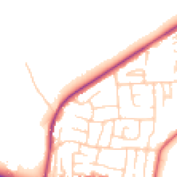
Daytime· 07:00 – 23:00
52.4dB

Night-time· 23:00 – 07:00
43.3dB