17 Bramley Orchard, Bushby, Leicester, LE7 9RU
About 17 Bramley Orchard
17 Bramley Orchard is a five-bedroom detached house in Bushby, Leicester, Leicester (LE7 9RU). It has a recorded floor area of 423 m² (around 4553 sq ft), construction records dating it to 1983-1990 and council tax band F. The latest certificate (December 2024) shows a C (score 78), near the top of the C band. Earlier certificates rated it B (October 2012); the latest reading is one band lower. Between certificates, lighting went from Poor to Very Good; while roof efficiency dropped from Good to Average. The recommended improvements would push it to B (score 82).
At 423 m² the property is well over the postcode median (146 m² across 15 EPCs), placing it in the larger end of the local stock. 5 bedrooms is on the larger side for this postcode, where 4 is the typical count. A recent sale: £1,000,000 in January 2025. One planning record on file: an extension approved in 2005. Past consents include an extension, meaningful when judging how the property has evolved. Across 2004–2025, sale prices on this property compounded at 4.7% per year. Today's modelled estimate of £1,108,000 is 10.8% above the 2025 sale price.
Know exactly what you're buying at 17 Bramley Orchard
Before you offer, see what the listing won't tell you, the true value, the red flags and the full history.
Valuation
against the asking price
Risks
planning & flood
Sold prices
similar homes nearby
Trends
the local market
What this property has
Inside
- Bedrooms5
Energy performance
17 Bramley Orchard's carbon output runs well above what efficient homes in the postcode produce.
EPC Rating
Property Improvements
Changes detected from historical EPC data
Heating controls changed
More low energy lighting installed
Window efficiency improved
Planning history
- Jul 2005ExtensionFullIn report
Extension: Side and rear of property
Erection of a two storey side and first floor side extension, erection of single storey rear extensions and first floor extensions and dormer windows to create first floor living space
- Documents
- 3 docs on file
- Reference
- 05/00736/FUL
What's in 17 Bramley Orchard, Bushby, Leicester, LE7 9RU's planning history?
Refusals, disputes and full decisions on this property and nearby, in the report.
Sales history & valuation
Latest sale on 17 Bramley Orchard was the highest on Land Registry record across the postcode.
£1,108,000
Modelled from EPC, postcode comparables and a sale-price growth of 4.7% per year over 20 years.
£1,000,000
Growth on file: 4.7% per year over 20 years.
Sales timeline
31 January 2025Most recent
£1,000,000
+40.8%over 10 years3 July 2014
£710,000
+82.1%over 9 years6 September 2004
£390,000
Median price across the last 5 sales in LE7 9RU: £486,000 (2025–2021).
Nearby sales in LE7 9RU
4a, Bramley Orchard, Bushby, Leicester, LE7 9RU
Sold Sept 2025
£480,0009a, Bramley Orchard, Bushby, Leicester, LE7 9RU
Sold Aug 2023
£590,00019 Bramley Orchard, Bushby, Leicester, LE7 9RU
Sold Feb 2023
£600,00015 Bramley Orchard, Bushby, Leicester, LE7 9RU
Sold Jun 2021
£486,0001 Bramley Orchard, Bushby, Leicester, LE7 9RU
Sold Jan 2021
£470,000
Everything we know about 17 Bramley Orchard, in one report
What it's really worth, what could be wrong, and the planning, sales and area data in full.
- Am I paying too much?
- Is something wrong with it?
- Is the agent's story true?
- Will it hold its value?

Versus other Bramley Orchard homes
On epc rating, 17 Bramley Orchard stands well clear of the street.
Price per m²
£2,364
Street avg £3,176
Floor Area
423 m²
Street avg 155 m²
Habitable Rooms
9 rooms
Street avg 7 rooms
CO₂ Emissions
9.4 t/year
Street avg 5.3 t/year
Similar properties nearby
1 Back Lane, Gaulby
LE7 9LP
1 Chapel Close, Houghton On The Hill
LE7 9HT
1 Bennion Road, Bushby
LE7 9QF
1 Chestnut Drive, Bushby
LE7 9RB
1 Beeby Road, Scraptoft
LE7 9SH
1 Cedar Cottages, Rolleston Road, Skeffington
LE7 9YD
1 Angus Close, Thurnby
LE7 9QG
1 Charnwood Drive, Thurnby
LE7 9PD
The neighbourhood at a glance
Daytime road noise here sits well below conversation level — a quiet pocket of the postcode.
Crime
2/mo
Steady year-on-year across the wider district.
Nearest stop
0.2 km
Main Street — bus stop.
Closest school
0.6 km
Thurnby, St Luke's Church of England Primary School. 13 schools nearby.
Go deeper on the local area
The full report breaks down crime, transport links, schools and air quality in depth.
Road noise across the postcode
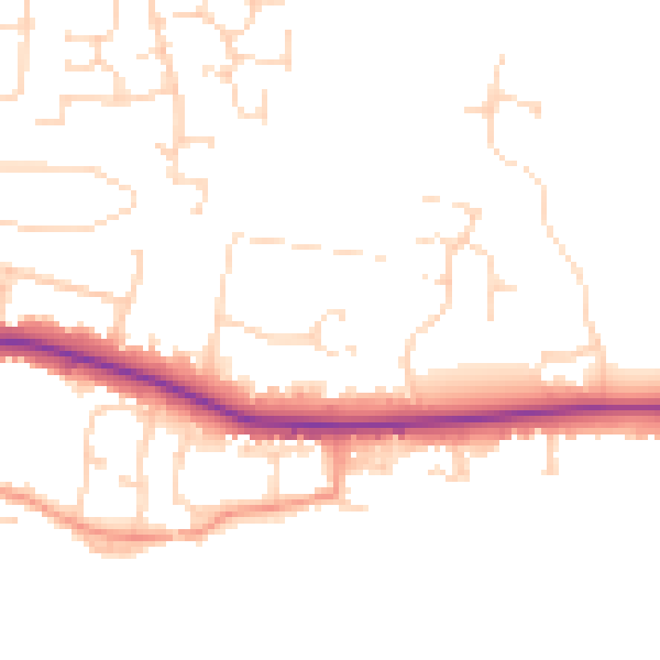
Daytime· 07:00 – 23:00
47.5dB

Night-time· 23:00 – 07:00
39.6dB