14 Dalby Avenue, Bushby, Leicester, LE7 9RD
About 14 Dalby Avenue
14 Dalby Avenue is a four-bedroom detached house in Bushby, Leicester, Leicester (LE7 9RD). It has a recorded floor area of 312 m² (around 3358 sq ft), construction records dating it to 1991-1995 and council tax band G. The latest certificate (August 2025) shows a C (score 79), near the top of the C band. When first surveyed in October 2017 the rating was E, the property has climbed 2 bands since. Between certificates, wall efficiency went from Very Poor to Good, roof efficiency went from Good to Very Good and window efficiency went from Poor to Average. The recommended improvements would push it to B (score 81). Other recorded features include a conservatory and a self-contained annexe.
At 312 m² the property is well over the postcode median (171 m² across 17 EPCs), placing it in the larger end of the local stock. Its energy rating outperforms most of the postcode (better than 76% of similar EPCs). 6 planning records sit against the property, 3 approved, 3 refused. Past consents include an extension, meaningful when judging how the property has evolved. Last changed hands 8 years ago, in May 2018. Today's modelled estimate of £973,000 is 44.1% above the 2018 sale price.
Know exactly what you're buying at 14 Dalby Avenue
Before you offer, see what the listing won't tell you, the true value, the red flags and the full history.
Valuation
against the asking price
Risks
planning & flood
Sold prices
similar homes nearby
Trends
the local market
What this property has
Inside
- Bedrooms4
- Bathrooms3
- Dining roomYes
- CloakroomYes
- EnsuiteYes
- ConservatoryYes
Outside
- GarageYes
Energy performance
14 Dalby Avenue's carbon output runs well above what efficient homes in the postcode produce.
EPC Rating
Property Improvements
Changes detected from historical EPC data
Heating controls upgraded for better temperature management
Hot water system upgraded
Windows upgraded to triple glazing
Cavity wall insulation installed
Roof insulation improved
More low energy lighting installed
Planning history
A recent planning application at 14 Dalby Avenue was refused — worth checking the council file.
- Mar 2024RenovationFullIn report
Entrance gates and brick pillars
- Documents
- 6 docs on file
- Reference
- 24/00059/FUL
- Mar 2023RenovationFullIn report
Erection of gates (retrospective)
Retrospective- Documents
- 10 docs on file
- Reference
- 23/00160/FUL
What's in 14 Dalby Avenue, Bushby, Leicester, LE7 9RD's planning history?
4 more on this property, plus refusals, disputes and full decisions nearby, in the report.
Sales history & valuation
14 Dalby Avenue valuation sits well clear of the typical sold price in this postcode.
£973,000
Modelled from EPC, postcode comparables.
£675,000
Recorded with HM Land Registry.
Sales timeline
31 May 2018Most recent
£675,000
Median price across the last 5 sales in LE7 9RD: £330,000 (2024–2019).
Nearby sales in LE7 9RD
18 Dalby Avenue, Bushby, Leicester, LE7 9RD
Sold Nov 2024
£886,00036 Dalby Avenue, Bushby, Leicester, LE7 9RD
Sold Oct 2024
£330,00064 Dalby Avenue, Bushby, Leicester, LE7 9RD
Sold Jun 2023
£650,00038 Dalby Avenue, Bushby, Leicester, LE7 9RD
Sold Jun 2019
£260,00060 Dalby Avenue, Bushby, Leicester, LE7 9RD
Sold Mar 2019
£290,000
Everything we know about 14 Dalby Avenue, in one report
What it's really worth, what could be wrong, and the planning, sales and area data in full.
- Am I paying too much?
- Is something wrong with it?
- Is the agent's story true?
- Will it hold its value?

Versus other Dalby Avenue homes
On floor area, 14 Dalby Avenue stands well clear of the street.
Price per m²
£2,163
Street avg £2,455
Floor Area
312 m²
Street avg 170 m²
Habitable Rooms
9 rooms
Street avg 7 rooms
CO₂ Emissions
6.4 t/year
Street avg 7.4 t/year
Similar properties nearby
1 Back Lane, Gaulby
LE7 9LP
1 Bennion Road, Bushby
LE7 9QF
1 Chestnut Drive, Bushby
LE7 9RB
1 Chapel Close, Houghton On The Hill
LE7 9HT
1 Cedar Cottages, Rolleston Road, Skeffington
LE7 9YD
1 Angus Close, Thurnby
LE7 9QG
1 Charnwood Drive, Thurnby
LE7 9PD
1 Beeby Road, Scraptoft
LE7 9SH
The neighbourhood at a glance
Daytime road noise here sits well below conversation level — a quiet pocket of the postcode.
Crime
2/mo
Steady year-on-year across the wider district.
Nearest stop
0.3 km
Pulford Drive — bus stop.
Closest school
0.5 km
Fernvale Primary School. 14 schools nearby.
Go deeper on the local area
The full report breaks down crime, transport links, schools and air quality in depth.
Road noise across the postcode
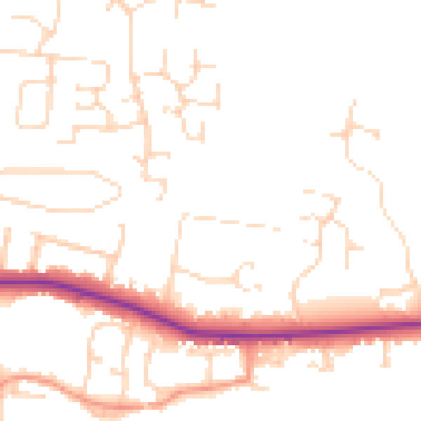
Daytime· 07:00 – 23:00
48.4dB

Night-time· 23:00 – 07:00
39.8dB