7 Homestead Close, Cossington, Leicester, LE7 4UN
About 7 Homestead Close
7 Homestead Close is a detached house in Cossington, Leicester, Leicester (LE7 4UN). It has a recorded floor area of 139 m² (around 1496 sq ft), construction records dating it to 1967-1975 and council tax band D. The latest certificate (June 2018) shows a C (score 70). When first surveyed in August 2009 the rating was E, the property has climbed 2 bands since. Between certificates, hot-water efficiency went from Poor to Good, lighting went from Poor to Good and main heating went from Average to Good; while wall efficiency dropped from Good to Average and window efficiency dropped from Good to Average. The recommended improvements would push it to B (score 81).
One planning record on file: an extension approved in 2009. Past consents include an extension, meaningful when judging how the property has evolved. At 139 m² it's 19.3% larger than the typical home in the postcode (117 m² median across 8 EPCs). Across 2010–2018, sale prices on this property compounded at 9% per year. Today's modelled estimate of £499,000 is 12.1% above the 2018 sale price. On a £-per-square-foot basis, the last sale (£297/sq ft) was about 17.4% above the typical sold price in the postcode. Most recent transfer: October 2018 at £445,000.
Know exactly what you're buying at 7 Homestead Close
Before you offer, see what the listing won't tell you, the true value, the red flags and the full history.
Already flagged here
Valuation
against the asking price
Risks
planning & flood
Sold prices
similar homes nearby
Trends
the local market
Energy performance
EPC Rating
Property Improvements
Changes detected from historical EPC data
Heating controls upgraded for better temperature management
Hot water system upgraded
Windows upgraded, improving insulation
More low energy lighting installed
Planning history
7 Homestead Close has an approved single-storey extension on the planning record.
- Dec 2009ExtensionFullIn report
Extension: Single storey
Erection of single storey extensions to front and rear of dwelling.
- Council
- South
- Documents
- 13 docs on file
- Reference
- P/09/2000/2
We flagged 1 thing worth checking at 7 Homestead Close
Independent checks surfaced things a buyer would want to understand before offering. The report explains each one in full, with the underlying data and what to ask.
- Larger development activity nearby
30-day money-back guarantee
Sales history & valuation
Sale price has at least doubled since 2010.
£499,000
Modelled from EPC, postcode comparables and a sale-price growth of 9.0% per year over 9 years.
£445,000
Growth on file: 9.0% per year over 9 years.
Sales timeline
15 October 2018Most recent
£445,000
+111.9%over 8 years13 January 2010
£210,000
Median price across the last 5 sales in LE7 4UN: £472,500 (2025–2022).
Nearby sales in LE7 4UN
8 Homestead Close, Cossington, Leicester, LE7 4UN
Sold Jan 2025
£525,0009 Homestead Close, Cossington, Leicester, LE7 4UN
Sold Mar 2024
£435,00018 Homestead Close, Cossington, Leicester, LE7 4UN
Sold Apr 2023
£712,0005 Homestead Close, Cossington, Leicester, LE7 4UN
Sold May 2022
£472,5004 Homestead Close, Cossington, Leicester, LE7 4UN
Sold Dec 2020
£442,500
Everything we know about 7 Homestead Close, in one report
What it's really worth, what could be wrong, and the planning, sales and area data in full.
What we flagged
- Larger development activity nearby

Versus other Homestead Close homes
Floor Area for 7 Homestead Close runs comfortably ahead of the street norm.
Price per m²
£3,201
Street avg £3,640
Floor Area
139 m²
Street avg 128 m²
Habitable Rooms
4 rooms
Street avg 5 rooms
CO₂ Emissions
4.7 t/year
Street avg 5.2 t/year
Similar properties nearby
1 King William Court, Barsby
LE7 4RJ
1 Fisher Close, Cossington
LE7 4US
1 Hoby Road, Thrussington
LE7 4TH
1 Gaddesby Lane, Rearsby
LE7 4YJ
1 Holme Drive, Gaddesby
LE7 4AL
1 Church Lane, Rearsby
LE7 4YE
1 Cross Street, Gaddesby
LE7 4WD
1 Back Lane, Thrussington
LE7 4TD
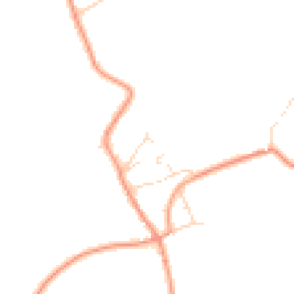
The neighbourhood at a glance
Daytime road noise here sits well below conversation level — a quiet pocket of the postcode.
Crime
2/mo
Steady year-on-year across the wider district.
Nearest stop
0.2 km
Primary School — bus stop.
Closest school
0.1 km
Cossington Church of England Primary School. 7 schools nearby.
Go deeper on the local area
The full report breaks down crime, transport links, schools and air quality in depth.
Road noise across the postcode
Daytime· 07:00 – 23:00
45.6dB

Night-time· 23:00 – 07:00
37.2dB