6 The Ringway, Queniborough, Leicester, LE7 3DL
About 6 The Ringway
6 The Ringway is a semi-detached house in Queniborough, Leicester, Leicester (LE7 3DL). It has a recorded floor area of 82 m² (around 883 sq ft), construction records dating it to 1967-1975 and council tax band C. The latest certificate (March 2014) shows a D (score 66), on the cusp of jumping into the C band. The recommended improvements would lift it to B (score 83), a 2-band jump. The latest certificate is from March 2014, so improvements made since then won't be reflected.
One planning record on file: an extension approved in 2022. Past consents include an extension, meaningful when judging how the property has evolved.
Everything you need to know about 6 The Ringway
The true value, the hidden risks and the full sale history, in one report.
30-day money-back guarantee

The data behind every report


Energy performance
Recommended upgrades on file would lift this property by multiple EPC bands.
EPC Expired
This certificate is over 10 years old and is no longer valid.Expired 12 Mar 2024
EPC Rating
Planning history
6 The Ringway has an approved side and rear extension on the planning record.
- Feb 2022ExtensionFullIn report
Extension: Side and rear of property
Single storey side and rear extensions
- Documents
- 8 docs on file
- Reference
- P/21/2321/2
What's in 6 The Ringway, Queniborough, Leicester, LE7 3DL's planning history?
Refusals, disputes and full decisions on this property and nearby, in the report.
Sales history & valuation
6 The Ringway has no Land Registry sales on file, suggesting it has stayed in the same hands since registration began.
£265,000
Modelled from EPC, postcode comparables.
No sales recorded with HM Land Registry
That can mean the property has never traded since the registry began publishing in 1995, was a new build that hasn't been registered yet, or is held in the same hands long-term.
Median price across the last 5 sales in LE7 3DL: £325,000 (2023–2022).
Nearby sales in LE7 3DL
24 The Ringway, Queniborough, Leicester, LE7 3DL
Sold Aug 2023
£310,00018 The Ringway, Queniborough, Leicester, LE7 3DL
Sold Apr 2023
£280,00084 The Ringway, Queniborough, Leicester, LE7 3DL
Sold Jan 2023
£435,000108 The Ringway, Queniborough, Leicester, LE7 3DL
Sold Sept 2022
£325,00082 The Ringway, Queniborough, Leicester, LE7 3DL
Sold Jul 2022
£390,000
Versus other The Ringway homes
6 The Ringway is notably below the street on habitable rooms.
EPC Rating
66 (D)
Street avg 60 (D)
Floor Area
82 m²
Street avg 86 m²
CO₂ Emissions
3.2 t/year
Street avg 4.2 t/year
Habitable Rooms
4 rooms
Street avg 5 rooms
Everything you need to know about 6 The Ringway
The true value, the hidden risks and the full sale history, in one report.
30-day money-back guarantee
The data behind every report
Similar properties nearby
1 Coopers Nook, East Goscote
LE7 3ZB
1 Badgers Corner, East Goscote
LE7 3WS
1 Avenue Close, Queniborough
LE7 3DS
1 Bluebell Close, Queniborough
LE7 3UY
1 Barn Field Close, Barkby
LE7 3RF
1 Chestnut Close, Queniborough
LE7 3DW
1 Ervin Way, Queniborough
LE7 3TT
1 Fletchers Way, East Goscote
LE7 3ZH
The neighbourhood at a glance
Crime
2/mo
Steady year-on-year across the wider district.
Nearest stop
0.2 km
Primrose Way — bus stop.
Closest school
0.2 km
Queniborough Church of England Primary School. 6 schools nearby.
Go deeper on the local area
The full report breaks down crime, transport links, schools and air quality in depth.
Road noise across the postcode
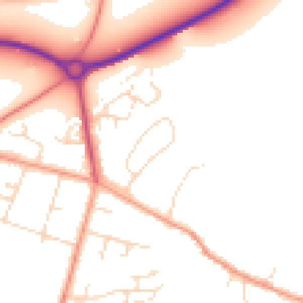
Daytime· 07:00 – 23:00
50.7dB

Night-time· 23:00 – 07:00
41.5dB