3a, Danehill, Ratby, Leicester, LE6 0NG
About 3a
3a is a three-bedroom detached house in Ratby, Leicester, Leicester (LE6 0NG). It has a recorded floor area of 114 m² (around 1227 sq ft) and construction records dating it to 2019. The latest certificate (December 2021) returns a high B (score 85), putting the home a stone's throw from an A rating. The recommended improvements would push it to A (score 95). The property has solar panels and underfloor heating on record, all of which lower running costs and tend to lift resale appeal.
At 114 m² the property is well over the postcode median (75 m² across 32 EPCs), placing it in the larger end of the local stock. On energy efficiency it sits in the top 10% of properties in this postcode. Across 2013–2022, sale prices on this property compounded at 10.3% per year. On a £-per-square-foot basis, the last sale (£281/sq ft) was about 45.2% above the typical sold price in the postcode. Last sale on file: £344,950 in June 2022. That sale was during the post-pandemic price surge, when transactions cleared materially above pre-2020 trend.
What this property has
Inside
- Bedrooms3
- Bathrooms2
- Open-plan layoutYes
- Dining roomYes
- EnsuiteYes
Building
- Central heatingYes
- Underfloor heatingYes
- Solar panelsYes
Everything you need to know about 3a
The true value, the hidden risks and the full sale history, in one report.
30-day money-back guarantee

The data behind every report


Energy performance
3a ranks among the most efficient homes in the postcode for energy use.
EPC Rating
Planning history
3a has no planning applications on record.
The full report still covers planning activity across the surrounding area.
Sales history & valuation
Latest sale on 3a was the highest on Land Registry record across the postcode.
£364,000
Modelled from EPC, postcode comparables and a sale-price growth of 10.3% per year over 9 years.
£344,950
Growth on file: 10.3% per year over 9 years.
Sales timeline
26 June 2022Most recent
£344,950
+138.0%over 8 years29 August 2013
£144,950
Median price across the last 5 sales in LE6 0NG: £265,000 (2025–2024).
Nearby sales in LE6 0NG
Versus other Danehill homes
3a outperforms the street on epc rating by a wide margin.
Price per m²
£3,026
Street avg £2,825
Floor Area
114 m²
Street avg 75 m²
CO₂ Emissions
1.6 t/year
Street avg 3.3 t/year
Years Held
4 years
Street avg 8 years
Everything you need to know about 3a
The true value, the hidden risks and the full sale history, in one report.
30-day money-back guarantee
The data behind every report
Similar properties nearby
1 Brook Drive, Ratby
LE6 0AQ
1 Castle Rise, Groby
LE6 0YQ
1 Ash Court, Groby
LE6 0EH
1 Bumblebee Close, Ratby
LE6 0PB
1 Astill Close, Ratby
LE6 0SA
1 Buttercup Grove, Ratby
LE6 0PE
1 Cedar Court, Groby
LE6 0ET
1 Castell Drive, Groby
LE6 0DE
The neighbourhood at a glance
Crime
2/mo
Steady year-on-year across the wider district.
Nearest stop
0.2 km
Fielding Lane — bus stop.
Closest school
0.3 km
Ratby Primary School. 7 schools nearby.
Go deeper on the local area
The full report breaks down crime, transport links, schools and air quality in depth.
Road noise across the postcode
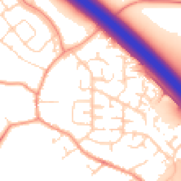
Daytime· 07:00 – 23:00
54.4dB

Night-time· 23:00 – 07:00
46.2dB