16 Danehill, Ratby, Leicester, LE6 0NG
About 16 Danehill
16 Danehill is a three-bedroom detached house in Ratby, Leicester, Leicester (LE6 0NG). It has a recorded floor area of 74 m² (around 797 sq ft), construction records dating it to 1950-1966 and council tax band C. The latest certificate (June 2016) shows a D (score 68), on the cusp of jumping into the C band. The recommended improvements would lift it to B (score 83), a 2-band jump. The latest certificate is from June 2016, so improvements made since then won't be reflected.
Today's modelled estimate of £339,000 is 35.6% above the 2016 sale price. On a £-per-square-foot basis, the last sale (£314/sq ft) was about 67.5% above the typical sold price in the postcode. Last changed hands 10 years ago, in August 2016.
What this property has
Inside
- Bedrooms3
- Bathrooms1
Everything you need to know about 16 Danehill
The true value, the hidden risks and the full sale history, in one report.
30-day money-back guarantee

The data behind every report


Energy performance
Recommended upgrades on file would lift this property by multiple EPC bands.
EPC Expired
This certificate is over 10 years old and is no longer valid.Expired 05 Jun 2026
EPC Rating
Planning history
16 Danehill has no planning applications on record.
The full report still covers planning activity across the surrounding area.
Sales history & valuation
16 Danehill valuation sits well clear of the typical sold price in this postcode.
£339,000
Modelled from EPC, postcode comparables.
£250,000
Recorded with HM Land Registry.
Sales timeline
31 August 2016Most recent
£250,000
Median price across the last 5 sales in LE6 0NG: £265,000 (2025–2024).
Nearby sales in LE6 0NG
Versus other Danehill homes
Price per m² for 16 Danehill runs comfortably ahead of the street norm.
Price per m²
£3,378
Street avg £2,812
Floor Area
74 m²
Street avg 76 m²
Habitable Rooms
4 rooms
Street avg 4 rooms
CO₂ Emissions
3.2 t/year
Street avg 3.2 t/year
Everything you need to know about 16 Danehill
The true value, the hidden risks and the full sale history, in one report.
30-day money-back guarantee
The data behind every report
Similar properties nearby
1 Brook Drive, Ratby
LE6 0AQ
1 Castle Rise, Groby
LE6 0YQ
1 Ash Court, Groby
LE6 0EH
1 Bumblebee Close, Ratby
LE6 0PB
1 Cedar Court, Groby
LE6 0ET
1 Castell Drive, Groby
LE6 0DE
1 Astill Close, Ratby
LE6 0SA
1 Buttercup Grove, Ratby
LE6 0PE
The neighbourhood at a glance
Crime
2/mo
Steady year-on-year across the wider district.
Nearest stop
0.2 km
Fielding Lane — bus stop.
Closest school
0.3 km
Ratby Primary School. 7 schools nearby.
Go deeper on the local area
The full report breaks down crime, transport links, schools and air quality in depth.
Road noise across the postcode
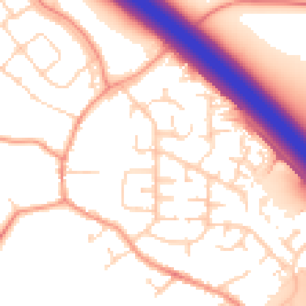
Daytime· 07:00 – 23:00
54.4dB

Night-time· 23:00 – 07:00
46.2dB