14 Groby Road, Ratby, Leicester, LE6 0LJ
About 14 Groby Road
14 Groby Road is a four-bedroom detached house in Ratby, Leicester, Leicester (LE6 0LJ). It has a recorded floor area of 109 m² (around 1173 sq ft), construction records dating it to 1950-1966 and council tax band D. The latest certificate (December 2021) shows a C (score 71). The recommended improvements would push it to B (score 83).
Across 2009–2022, sale prices on this property compounded at -3.7% per year. Today's modelled estimate of £336,000 sits 145.9% above the 2022 sale of £136,616. On a £-per-square-foot basis, the last sale (£116/sq ft) was about 37.3% below the postcode norm. Its energy rating outperforms most of the postcode (better than 71% of similar EPCs). Sold May 2022 for £136,616. That sale was during the post-pandemic price surge, when transactions cleared materially above pre-2020 trend. One historical planning record sits against the property in 2009.
What this property has
Inside
- Bedrooms4
Everything you need to know about 14 Groby Road
The true value, the hidden risks and the full sale history, in one report.
30-day money-back guarantee

The data behind every report


Energy performance
EPC Rating
Planning history
- Jan 2009ExtensionFullIn report
EXTENSIONS AND ALTERATIONS TO DWELLING.
- Documents
- 15 docs on file
- Reference
- 08/01032/FUL
What's in 14 Groby Road, Ratby, Leicester, LE6 0LJ's planning history?
Refusals, disputes and full decisions on this property and nearby, in the report.
Sales history & valuation
14 Groby Road's sale-price growth has lagged the wider UK trajectory across its history on file.
£336,000
Modelled from EPC, postcode comparables and a sale-price growth of -3.7% per year over 13 years.
£136,616
Growth on file: -3.7% per year over 13 years.
Sales timeline
19 May 2022Most recent
£136,616
-37.9%over 12 years23 August 2009
£220,000
Median price across the last 5 sales in LE6 0LJ: £575,000 (2025–2022).
Nearby sales in LE6 0LJ
1 Groby Road, Ratby, Leicester, LE6 0LJ
Sold May 2025
£800,0005 Groby Road, Ratby, Leicester, LE6 0LJ
Sold Jul 2024
£240,00015 Groby Road, Ratby, Leicester, LE6 0LJ
Sold Jul 2024
£700,00020 Groby Road, Ratby, Leicester, LE6 0LJ
Sold Feb 2023
£425,0009 Groby Road, Ratby, Leicester, LE6 0LJ
Sold Aug 2022
£575,000
Versus other Groby Road homes
On price per m², 14 Groby Road runs well behind the street norm.
Price per m²
£1,253
Street avg £2,457
Floor Area
109 m²
Street avg 141 m²
Habitable Rooms
6 rooms
Street avg 6 rooms
CO₂ Emissions
3.7 t/year
Street avg 6.2 t/year
Everything you need to know about 14 Groby Road
The true value, the hidden risks and the full sale history, in one report.
30-day money-back guarantee
The data behind every report
Similar properties nearby
1 Astill Close, Ratby
LE6 0SA
1 Buttercup Grove, Ratby
LE6 0PE
1 Buckingham Close, Groby
LE6 0YX
1 Bluebell Drive, Groby
LE6 0AX
1 Butler Close, Ratby
LE6 0GD
1 Brook Drive, Ratby
LE6 0AQ
1 Castle Rise, Groby
LE6 0YQ
1 Ash Court, Groby
LE6 0EH
The neighbourhood at a glance
Crime
2/mo
Steady year-on-year across the wider district.
Nearest stop
0.1 km
Dane Hill — bus stop.
Closest school
0.4 km
Ratby Primary School. 7 schools nearby.
Go deeper on the local area
The full report breaks down crime, transport links, schools and air quality in depth.
Road noise across the postcode
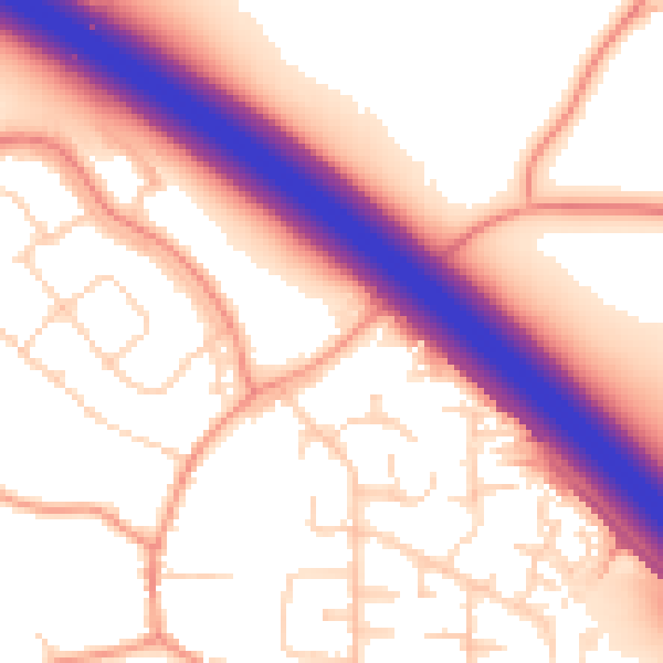
Daytime· 07:00 – 23:00
56.8dB

Night-time· 23:00 – 07:00
49.0dB