8 Desford Lane, Ratby, Leicester, LE6 0LE
About 8 Desford Lane
8 Desford Lane is a three-bedroom semi-detached house in Ratby, Leicester, Leicester (LE6 0LE). It has a recorded floor area of 85 m² (around 915 sq ft), construction records dating it to 1967-1975 and council tax band C. The latest certificate (December 2014) shows a D (score 61), on the cusp of jumping into the C band. The recommended improvements would lift it to B (score 86), a 2-band jump. The latest certificate is from December 2014, so improvements made since then won't be reflected. Other recorded features include attached land beyond the plot.
On a £-per-square-foot basis, the last sale (£284/sq ft) was about 34.8% above the typical sold price in the postcode. Most recent transfer: June 2024 at £260,000.
What this property has
Inside
- Bedrooms3
- Bathrooms1
- CloakroomYes
Outside
- GarageYes
- LandYes
Everything you need to know about 8 Desford Lane
The true value, the hidden risks and the full sale history, in one report.
30-day money-back guarantee

The data behind every report


Energy performance
Recommended upgrades on file would lift this property by multiple EPC bands.
EPC Expired
This certificate is over 10 years old and is no longer valid.Expired 12 Dec 2024
EPC Rating
Planning history
8 Desford Lane has no planning applications on record.
The full report still covers planning activity across the surrounding area.
Sales history & valuation
8 Desford Lane valuation sits well clear of the typical sold price in this postcode.
£269,000
Modelled from EPC, postcode comparables.
£260,000
Recorded with HM Land Registry.
Sales timeline
23 June 2024Most recent
£260,000
Median price across the last 5 sales in LE6 0LE: £159,950 (2024–2014).
Nearby sales in LE6 0LE
12 Desford Lane, Ratby, Leicester, LE6 0LE
Sold Oct 2024
£208,00018 Desford Lane, Ratby, Leicester, LE6 0LE
Sold Jun 2022
£260,0001 Desford Lane, Ratby, Leicester, LE6 0LE
Sold Oct 2020
£101,0004 Desford Lane, Ratby, Leicester, LE6 0LE
Sold May 2014
£154,00022 Desford Lane, Ratby, Leicester, LE6 0LE
Sold Oct 2013
£318,000
Versus other Desford Lane homes
8 Desford Lane outperforms the street on price per m² by a wide margin.
Price per m²
£3,059
Street avg £2,406
Floor Area
85 m²
Street avg 108 m²
Habitable Rooms
5 rooms
Street avg 6 rooms
CO₂ Emissions
4.4 t/year
Street avg 4.3 t/year
Everything you need to know about 8 Desford Lane
The true value, the hidden risks and the full sale history, in one report.
30-day money-back guarantee
The data behind every report
Similar properties nearby
1 Castle Rise, Groby
LE6 0YQ
1 Brook Drive, Ratby
LE6 0AQ
1 Ash Court, Groby
LE6 0EH
1 Bumblebee Close, Ratby
LE6 0PB
1 Bailey View, Groby
LE6 0FF
1 Carmen Grove, Groby
LE6 0BA
1 Castell Drive, Groby
LE6 0DE
1 Cedar Court, Groby
LE6 0ET
The neighbourhood at a glance
Daytime road noise here sits well below conversation level — a quiet pocket of the postcode.
Crime
2/mo
Steady year-on-year across the wider district.
Nearest stop
0.1 km
Main Street — bus stop.
Closest school
0.2 km
Ratby Primary School. 7 schools nearby.
Go deeper on the local area
The full report breaks down crime, transport links, schools and air quality in depth.
Road noise across the postcode
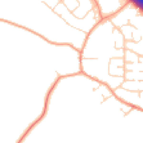
Daytime· 07:00 – 23:00
48.8dB

Night-time· 23:00 – 07:00
40.8dB