19 Farr Wood Close, Groby, Leicester, LE6 0FX
About 19 Farr Wood Close
19 Farr Wood Close is a semi-detached house in Groby, Leicester, Leicester (LE6 0FX). It has a recorded floor area of 77 m² (around 829 sq ft), construction records dating it to 1967-1975 and council tax band C. The latest certificate (May 2017) shows a D (score 63), on the cusp of jumping into the C band. The recommended improvements would lift it to B (score 83), a 2-band jump.
Everything you need to know about 19 Farr Wood Close
The true value, the hidden risks and the full sale history, in one report.
30-day money-back guarantee

The data behind every report


Energy performance
Recommended upgrades on file would lift this property by multiple EPC bands.
EPC Rating
Planning history
19 Farr Wood Close has no planning applications on record.
The full report still covers planning activity across the surrounding area.
Sales history & valuation
19 Farr Wood Close has no Land Registry sales on file, suggesting it has stayed in the same hands since registration began.
£255,000
Modelled from EPC, postcode comparables.
No sales recorded with HM Land Registry
That can mean the property has never traded since the registry began publishing in 1995, was a new build that hasn't been registered yet, or is held in the same hands long-term.
Median price across the last 5 sales in LE6 0FX: £245,000 (2025–2022).
Nearby sales in LE6 0FX
15 Farr Wood Close, Groby, Leicester, LE6 0FX
Sold Apr 2025
£245,00011 Farr Wood Close, Groby, Leicester, LE6 0FX
Sold Dec 2024
£232,50025 Farr Wood Close, Groby, Leicester, LE6 0FX
Sold Sept 2024
£265,00022 Farr Wood Close, Groby, Leicester, LE6 0FX
Sold May 2022
£269,00021 Farr Wood Close, Groby, Leicester, LE6 0FX
Sold Feb 2022
£230,000
Versus other Farr Wood Close homes
On habitable rooms, 19 Farr Wood Close runs well behind the street norm.
EPC Rating
63 (D)
Street avg 67 (D)
Floor Area
77 m²
Street avg 82 m²
CO₂ Emissions
3.7 t/year
Street avg 3.4 t/year
Habitable Rooms
4 rooms
Street avg 5 rooms
Everything you need to know about 19 Farr Wood Close
The true value, the hidden risks and the full sale history, in one report.
30-day money-back guarantee
The data behind every report
Similar properties nearby
1 Bennion Close, Groby
LE6 0DU
1 Ash Court, Groby
LE6 0EH
1 Brookvale Cottages, Ratby Road, Groby
LE6 0BS
1 Bumblebee Close, Ratby
LE6 0PB
1 Bancroft Way, Ratby
LE6 0BZ
1 Castle Rise, Groby
LE6 0YQ
1 Bailey View, Groby
LE6 0FF
1 Branting Hill, Groby
LE6 0DB
The neighbourhood at a glance
Crime
2/mo
Steady year-on-year across the wider district.
Nearest stop
0.1 km
Farr Wood Close — bus stop.
Closest school
0.2 km
Martinshaw Primary School. 7 schools nearby.
Go deeper on the local area
The full report breaks down crime, transport links, schools and air quality in depth.
Road noise across the postcode
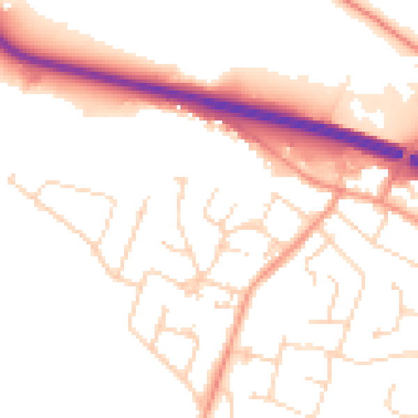
Daytime· 07:00 – 23:00
52.3dB

Night-time· 23:00 – 07:00
43.1dB