5 Firtree Walk, Groby, Leicester, LE6 0FN
About 5 Firtree Walk
5 Firtree Walk is a three-bedroom mid-terrace house in Groby, Leicester, Leicester (LE6 0FN). It has a recorded floor area of 75 m² (around 807 sq ft), construction records dating it to 1967-1975 and council tax band B. Tenure is freehold. The latest certificate (May 2019) shows a D (score 68), on the cusp of jumping into the C band. The recommended improvements would lift it to B (score 85), a 2-band jump.
Across 2003–2019, sale prices on this property compounded at 3.9% per year. Today's modelled estimate of £234,000 is 26.5% above the 2019 sale price. On a £-per-square-foot basis, the last sale (£229/sq ft) was about 38.3% above the typical sold price in the postcode. Most recent transfer: August 2019 at £185,000.
What this property has
Inside
- Bedrooms3
Outside
- Private gardenYes
- GarageYes
Building
- TenureFreehold
- Heating systemElectric
- RefurbishedYes
Everything you need to know about 5 Firtree Walk
The true value, the hidden risks and the full sale history, in one report.
30-day money-back guarantee

The data behind every report


Energy performance
Recommended upgrades on file would lift this property by multiple EPC bands.
EPC Rating
Planning history
5 Firtree Walk has no planning applications on record.
The full report still covers planning activity across the surrounding area.
Sales history & valuation
5 Firtree Walk valuation sits well clear of the typical sold price in this postcode.
£234,000
Modelled from EPC, postcode comparables and a sale-price growth of 3.9% per year over 16 years.
£185,000
Growth on file: 3.9% per year over 16 years.
Sales timeline
11 August 2019Most recent
£185,000
+34.5%over 12 years8 December 2006
£137,500
+37.6%over 3 years10 August 2003
£99,950
Median price across the last 5 sales in LE6 0FN: £219,000 (2025–2024).
Nearby sales in LE6 0FN
15 Firtree Walk, Groby, Leicester, LE6 0FN
Sold Mar 2025
£206,0002 Firtree Walk, Groby, Leicester, LE6 0FN
Sold Mar 2025
£272,00014 Firtree Walk, Groby, Leicester, LE6 0FN
Sold Jun 2024
£205,00012 Firtree Walk, Groby, Leicester, LE6 0FN
Sold Jun 2024
£225,0003 Firtree Walk, Groby, Leicester, LE6 0FN
Sold Mar 2024
£219,000
Versus other Firtree Walk homes
Habitable Rooms for 5 Firtree Walk runs comfortably ahead of the street norm.
Price per m²
£2,467
Street avg £2,333
Floor Area
75 m²
Street avg 75 m²
Habitable Rooms
5 rooms
Street avg 4 rooms
CO₂ Emissions
3.1 t/year
Street avg 3.1 t/year
Everything you need to know about 5 Firtree Walk
The true value, the hidden risks and the full sale history, in one report.
30-day money-back guarantee
The data behind every report
Similar properties nearby
1 Bumblebee Close, Ratby
LE6 0PB
1 Ash Court, Groby
LE6 0EH
1 Castle Rise, Groby
LE6 0YQ
1 Brook Drive, Ratby
LE6 0AQ
1 Carmen Grove, Groby
LE6 0BA
1 Bailey View, Groby
LE6 0FF
1 Castell Drive, Groby
LE6 0DE
1 Cedar Court, Groby
LE6 0ET
The neighbourhood at a glance
Crime
2/mo
Steady year-on-year across the wider district.
Nearest stop
0.1 km
Stephenson Close — bus stop.
Closest school
0.3 km
Martinshaw Primary School. 8 schools nearby.
Go deeper on the local area
The full report breaks down crime, transport links, schools and air quality in depth.
Road noise across the postcode
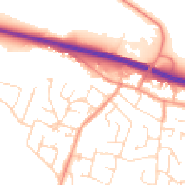
Daytime· 07:00 – 23:00
53.0dB

Night-time· 23:00 – 07:00
43.4dB