1 Firtree Walk, Groby, Leicester, LE6 0FN
About 1 Firtree Walk
1 Firtree Walk is a three-bedroom end-of-terrace house in Groby, Leicester, Leicester (LE6 0FN). It has a recorded floor area of 76 m² (around 818 sq ft), construction records dating it to 1967-1975 and council tax band B. The latest certificate (October 2018) shows a D (score 67), on the cusp of jumping into the C band. The recommended improvements would lift it to B (score 83), a 2-band jump.
Today's modelled estimate of £248,000 is 34.1% above the 2019 sale price. On a £-per-square-foot basis, the last sale (£226/sq ft) was about 36.5% above the typical sold price in the postcode. Most recent transfer: February 2019 at £184,950. One historical planning record sits against the property in 2023.
What this property has
Inside
- Bedrooms3
- Bathrooms1
Everything you need to know about 1 Firtree Walk
The true value, the hidden risks and the full sale history, in one report.
30-day money-back guarantee

The data behind every report


Energy performance
Recommended upgrades on file would lift this property by multiple EPC bands.
EPC Rating
Planning history
Planning history includes recorded demolition works, indicating a major rebuild phase at this address.
- Jul 2023DemolitionFullIn report
Extension: Single storey · Side of property
Single storey side extension (including the demolition of existing side extension)
- Agent
- Bsurv Ltd.
Extension- Documents
- 6 docs on file
- Reference
- 23/00512/HOU
What's in 1 Firtree Walk, Groby, Leicester, LE6 0FN's planning history?
Refusals, disputes and full decisions on this property and nearby, in the report.
Sales history & valuation
1 Firtree Walk valuation sits well clear of the typical sold price in this postcode.
£248,000
Modelled from EPC, postcode comparables.
£184,950
Recorded with HM Land Registry.
Sales timeline
4 February 2019Most recent
£184,950
Median price across the last 5 sales in LE6 0FN: £219,000 (2025–2024).
Nearby sales in LE6 0FN
15 Firtree Walk, Groby, Leicester, LE6 0FN
Sold Mar 2025
£206,0002 Firtree Walk, Groby, Leicester, LE6 0FN
Sold Mar 2025
£272,00014 Firtree Walk, Groby, Leicester, LE6 0FN
Sold Jun 2024
£205,00012 Firtree Walk, Groby, Leicester, LE6 0FN
Sold Jun 2024
£225,0003 Firtree Walk, Groby, Leicester, LE6 0FN
Sold Mar 2024
£219,000
Versus other Firtree Walk homes
Price per m²
£2,434
Street avg £2,336
Floor Area
76 m²
Street avg 75 m²
Habitable Rooms
4 rooms
Street avg 5 rooms
CO₂ Emissions
3.2 t/year
Street avg 3.0 t/year
Everything you need to know about 1 Firtree Walk
The true value, the hidden risks and the full sale history, in one report.
30-day money-back guarantee
The data behind every report
Similar properties nearby
1 Ash Court, Groby
LE6 0EH
1 Bumblebee Close, Ratby
LE6 0PB
1 Castle Rise, Groby
LE6 0YQ
1 Brook Drive, Ratby
LE6 0AQ
1 Carmen Grove, Groby
LE6 0BA
1 Bailey View, Groby
LE6 0FF
1 Castell Drive, Groby
LE6 0DE
1 Cedar Court, Groby
LE6 0ET
The neighbourhood at a glance
Crime
2/mo
Steady year-on-year across the wider district.
Nearest stop
0.1 km
Stephenson Close — bus stop.
Closest school
0.3 km
Martinshaw Primary School. 8 schools nearby.
Go deeper on the local area
The full report breaks down crime, transport links, schools and air quality in depth.
Road noise across the postcode
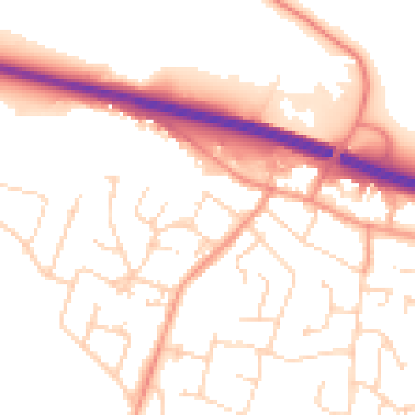
Daytime· 07:00 – 23:00
53.0dB

Night-time· 23:00 – 07:00
43.4dB