31 Faire Road, Glenfield, Leicester, LE3 8EE
About 31 Faire Road
31 Faire Road is a four-bedroom detached house in Glenfield, Leicester, Leicester (LE3 8EE). It has a recorded floor area of 128 m² (around 1380 sq ft), construction records dating it to 1950-1966 and council tax band E. The latest certificate (December 2010) shows an E (score 54), well below the UK norm with real room to improve. The recommended improvements would lift it to C (score 74), a 2-band jump. The latest certificate is from December 2010, so improvements made since then won't be reflected. Records show the property has been extended at some point in its history.
Across 2011–2018, sale prices on this property compounded at 3% per year. Today's modelled estimate of £438,000 is 32.7% above the 2018 sale price. On a £-per-square-foot basis, the last sale (£239/sq ft) was about 44.3% above the typical sold price in the postcode. 8 years since the last transfer (March 2018).
What this property has
Inside
- Bedrooms4
- Bathrooms1
Outside
- Private gardenRear
- GarageYes
Building
- Previously extendedYes
Everything you need to know about 31 Faire Road
The true value, the hidden risks and the full sale history, in one report.
Pick your report · every report is £14.99
One time fee only - money back guarantee

The data behind every report


Energy performance
31 Faire Road's carbon output runs well above what efficient homes in the postcode produce.
EPC Expired
This certificate is over 10 years old and is no longer valid.Expired 21 Dec 2020
EPC Rating
Get a survey for this property
Level 3 Building Survey
Because the property has been extended more than once, we believe a Level 3 building survey should be considered.
From £1,020 · Includes VAT
Planning history
31 Faire Road has no planning applications on record.
But the area is active
3 notable applications nearby — larger schemes and conversions that could reshape the street. The report maps them all.
Sales history & valuation
31 Faire Road valuation sits well clear of the typical sold price in this postcode.
£438,000
Modelled from EPC, postcode comparables and a sale-price growth of 3.0% per year over 7 years.
£330,000
Growth on file: 3.0% per year over 7 years.
Sales timeline
22 March 2018Most recent
£330,000
+22.2%over 6 years30 May 2011
£270,000
Median price across the last 5 sales in LE3 8EE: £352,450 (2021–2019).
Nearby sales in LE3 8EE
39 Faire Road, Glenfield, Leicester, LE3 8EE
Sold Sept 2021
£220,00019 Faire Road, Glenfield, Leicester, LE3 8EE
Sold Aug 2021
£405,00011 Faire Road, Glenfield, Leicester, LE3 8EE
Sold May 2021
£485,0001 Faire Road, Glenfield, Leicester, LE3 8EE
Sold Apr 2019
£352,4509 Faire Road, Glenfield, Leicester, LE3 8EE
Sold Mar 2019
£335,000
Versus other Faire Road homes
CO₂ Emissions for 31 Faire Road lags the street by a wide margin.
Price per m²
£2,573
Street avg £2,300
Floor Area
128 m²
Street avg 135 m²
Habitable Rooms
6 rooms
Street avg 6 rooms
CO₂ Emissions
7.1 t/year
Street avg 6.0 t/year
Everything you need to know about 31 Faire Road
The true value, the hidden risks and the full sale history, in one report.
Pick your report · every report is £14.99
One time fee only - money back guarantee
The data behind every report
Similar properties nearby
1 Faire Road, Glenfield
LE3 8EE
1 Cedar Close, Glenfield
LE3 8HH
1 Birch Lane, Glenfield
LE3 8HJ
1 Ashleigh Road, Glenfield
LE3 8DA
1 Clovelly Road, Glenfield
LE3 8AD
1 Elm Tree Avenue, Glenfield
LE3 8QA
1 Chestnut Road, Glenfield
LE3 8DD
1 Ashleigh Court, Ashleigh Road, Glenfield
LE3 8GZ
The neighbourhood at a glance
Reported crime in the wider district is trending notably upward year-on-year.
Crime
7/mo
Rising year-on-year across the wider district.
Nearest stop
0.1 km
County Hall — bus stop.
Closest school
0.7 km
The Hall School. 26 schools nearby.
Go deeper on the local area
A Local Area report breaks down crime, transport links, schools and air quality in depth.
Road noise across the postcode
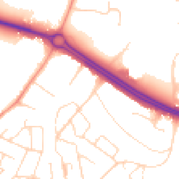
Daytime· 07:00 – 23:00
52.2dB
Night-time· 23:00 – 07:00
43.8dB