6 Thomas Close, Braunstone, Leicester, LE3 2FX
About 6 Thomas Close
6 Thomas Close is a property in Braunstone, Leicester, Leicester (LE3 2FX). It has council tax band C.
It hasn't traded since September 2006, a hold of 20 years that's notably long for the area.
Everything you need to know about 6 Thomas Close
The true value, the hidden risks and the full sale history, in one report.
Pick your report · every report is £14.99
One time fee only - money back guarantee

The data behind every report


Energy performance
No EPC on record
This property doesn't have an Energy Performance Certificate yet. An EPC is required to sell or let — and unlocks our automated valuation.
Get a survey for this property
Level 2 HomeBuyer Report
We've checked 10 risk factors against the available data for this property and believe a Level 2 HomeBuyer Report could be a suitable option for you.
Planning history
6 Thomas Close has no planning applications on record.
But the area is active
6 notable applications nearby — larger schemes and conversions that could reshape the street. The report maps them all.
Sales history & valuation
£159,950
Recorded with HM Land Registry.
Sales timeline
14 September 2006Most recent
£159,950
Median price across the last 5 sales in LE3 2FX: £225,000 (2022–2017).
Nearby sales in LE3 2FX
2 Thomas Close, Braunstone, Leicester, LE3 2FX
Sold Jul 2022
£265,00011 Thomas Close, Braunstone, Leicester, LE3 2FX
Sold Aug 2021
£225,00010 Thomas Close, Braunstone, Leicester, LE3 2FX
Sold Sept 2018
£225,0007 Thomas Close, Braunstone, Leicester, LE3 2FX
Sold May 2018
£185,00015 Thomas Close, Braunstone, Leicester, LE3 2FX
Sold Dec 2017
£179,000
Everything you need to know about 6 Thomas Close
The true value, the hidden risks and the full sale history, in one report.
Pick your report · every report is £14.99
One time fee only - money back guarantee
The data behind every report
Similar properties nearby
The neighbourhood at a glance
Reported crime in the wider district is trending notably upward year-on-year.
Crime
7/mo
Rising year-on-year across the wider district.
Nearest stop
0.0 km
Rosamund Avenue — bus stop.
Closest school
0.6 km
Ravenhurst Primary School. 30 schools nearby.
Go deeper on the local area
A Local Area report breaks down crime, transport links, schools and air quality in depth.
Road noise across the postcode
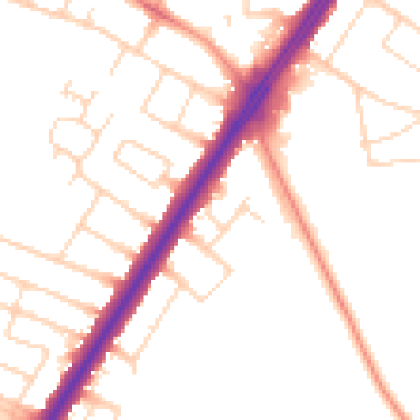
Daytime· 07:00 – 23:00
50.6dB

Night-time· 23:00 – 07:00
42.1dB