Rock Garth, Gale Rigg, Ambleside, LA22 0AZ
About Rock Garth
Rock Garth is a detached house in Ambleside (LA22 0AZ). It has a recorded floor area of 150 m² (around 1615 sq ft), construction records dating it to 1967-1975 and council tax band G. The latest certificate (November 2022) shows a D (score 63), on the cusp of jumping into the C band. The recommended improvements would push it to C (score 76).
At 150 m² the property is well over the postcode median (106 m² across 10 EPCs), placing it in the larger end of the local stock. 3 planning records sit against the property, 3 approved, 0 refused. Past consents include an extension and tree works, meaningful when judging how the property has evolved. On a £-per-square-foot basis, the last sale (£511/sq ft) was about 30.1% above the typical sold price in the postcode. Most recent transfer: November 2022 at £825,000. That sale was during the post-pandemic price surge, when transactions cleared materially above pre-2020 trend.
Know exactly what you're buying at Rock Garth
Before you offer, see what the listing won't tell you, the true value, the red flags and the full history.
Already flagged here
Valuation
against the asking price
Risks
planning & flood
Sold prices
similar homes nearby
Trends
the local market
Energy performance
Rock Garth's carbon output runs well above what efficient homes in the postcode produce.
EPC Rating
Planning history
- Oct 2022ExtensionFullIn report
Single storey extensions to West and East elevations. Demolish existing garage and replace with pitched roof garage
- Council
- South Lakeland
- Documents
- 9 docs on file
- Reference
- 7/2022/5391
- Apr 2022TreesIn report
Mixed Species Woodland (containing T3, T4, T5, T6, T7, T8, T9, T10, T11, T12, T13, T14, T15, T17, T18, T19, T20, T21, T22, T23, T24, T25, T26, T27, T28, T29, T30, T31, T32, T33, T34, T35, T36 and T37 of application) - Reduce and reshape to previous pruning points. Hazel tree (T2 in application) - Re-coppice to above deer browsing height. Willow tree (T16 in application) - Repollard to previous pollard point at 2 m above ground level. Laurel (T1 in application) - noted.
- Council
- South Lakeland
- Documents
- 7 docs on file
- Reference
- T/2022/0045
We flagged 1 thing worth checking at Rock Garth
Independent checks surfaced things a buyer would want to understand before offering. The report explains each one in full, with the underlying data and what to ask.
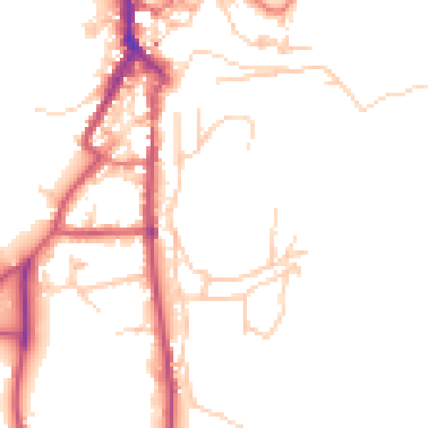
- Larger development activity nearby
30-day money-back guarantee
Sales history & valuation
Latest sale on Rock Garth was the highest on Land Registry record across the postcode.
£897,000
Modelled from EPC, postcode comparables.
£825,000
Recorded with HM Land Registry.
Sales timeline
30 November 2022Most recent
£825,000
Median price across the last 5 sales in LA22 0AZ: £550,000 (2022–2016).
Nearby sales in LA22 0AZ
Amaryllis, Gale Rigg, Ambleside, LA22 0AZ
Sold Oct 2022
£590,000Edgecroft, Gale Rigg, Ambleside, LA22 0AZ
Sold May 2019
£550,000High Crag, Gale Rigg, Ambleside, LA22 0AZ
Sold Jan 2019
£657,500Briar Cragg, Gale Rigg, Ambleside, LA22 0AZ
Sold Dec 2016
£535,000Greenways, Gale Rigg, Ambleside, LA22 0AZ
Sold Sept 2016
£345,000
Everything we know about Rock Garth, in one report
What it's really worth, what could be wrong, and the planning, sales and area data in full.
What we flagged
- Larger development activity nearby

Versus other Gale Rigg homes
Rock Garth is notably below the street on years held.
Price per m²
£5,500
Street avg £4,541
Floor Area
150 m²
Street avg 116 m²
Habitable Rooms
6 rooms
Street avg 5 rooms
CO₂ Emissions
7.9 t/year
Street avg 7.0 t/year
Similar properties nearby
1 Gale Crescent, Lower Gale
LA22 0BD
1 Cunsey House, Cunsey
LA22 0LT
1 Courier Cottages, Near Sawrey
LA22 0LF
1 Bryers Fold, Far Sawrey
LA22 0LL
1 Croft Barn, Kings Yard, Hawkshead
LA22 0QP
1 Cunsey Bridge Cottages, Cunsey
LA22 0LU
1 Bryers Brow, Far Sawrey
LA22 0LL
1 Brown Cow Cottages, Hawkshead
LA22 0PH
The neighbourhood at a glance
Daytime road noise here sits well below conversation level — a quiet pocket of the postcode.
Crime
2/mo
Steady year-on-year across the wider district.
Nearest stop
1.1 km
Ambleside Waterhead Ferry Landing — ferry terminal.
Closest school
0.5 km
Ambleside CofE Primary School. 1 school nearby.
Go deeper on the local area
The full report breaks down crime, transport links, schools and air quality in depth.
Road noise across the postcode
Daytime· 07:00 – 23:00
48.4dB
Night-time· 23:00 – 07:00
40.2dB