29 Harrowdale Park, Halton, Lancaster, LA2 6QS
About 29 Harrowdale Park
29 Harrowdale Park is a two-bedroom semi-detached house in Halton, Lancaster, Lancaster (LA2 6QS). It has a recorded floor area of 61 m² (around 657 sq ft), construction records dating it to 1967-1975 and council tax band B. The latest certificate (June 2020) shows a D (score 64), on the cusp of jumping into the C band. Earlier certificates rated it C (April 2010); the latest reading is one band lower. Between certificates, wall efficiency dropped from Good to Average and hot-water efficiency dropped from Very Good to Good. The recommended improvements would lift it to B (score 83), a 2-band jump. The home occupies a cul-de-sac position.
2 planning records sit against the property, 2 approved, 0 refused. Past consents include an extension and a loft conversion, meaningful when judging how the property has evolved. Today's modelled estimate of £216,000 is 35% above the 2020 sale price. On a £-per-square-foot basis, the last sale (£244/sq ft) was about 29.6% above the typical sold price in the postcode. At 61 m² it's 27.8% smaller than the typical home in the postcode (85 m² median across 16 EPCs). Most recent transfer: August 2020 at £160,000.
Know exactly what you're buying at 29 Harrowdale Park
Before you offer, see what the listing won't tell you, the true value, the red flags and the full history.
Launch offer · save £5
Valuation
against the asking price
Risks
planning & flood
Sold prices
similar homes nearby
Trends
the local market
What this property has
Inside
- Bedrooms2
- Bathrooms1
- CloakroomYes
Outside
- Private gardenrear
- GarageYes
- Cul-de-sacYes
Building
- RefurbishedYes
Energy performance
Recommended upgrades on file would lift this property by multiple EPC bands.
EPC Rating
Planning history
Planning history includes both a loft conversion and an extension — the classic family-home expansion.
- Jul 2024ExtensionFullIn report
Extension: Single storey · Rear of property
Erection of a single storey rear extension
- Agent
- Plan and Design Ltd
- Reference
- 24/00560/FUL
- Jan 2024Loft ConversionOutlineIn report
Extension: Rear of property
Proposed lawful development certificate for the erection of a single storey rear extension and loft conversion
- Agent
- Plan and Design Ltd
Extension- Documents
- 6 docs on file
- Reference
- 23/01249/PLDC
What's in 29 Harrowdale Park, Halton, Lancaster, LA2 6QS's planning history?
Refusals, disputes and full decisions on this property and nearby, in the report.
Sales history & valuation
The latest sale landed in the post-pandemic price surge — useful context when reading the figure.
£216,000
Modelled from EPC, postcode comparables.
£160,000
Recorded with HM Land Registry.
Sales timeline
16 August 2020Most recent
£160,000
Median price across the last 5 sales in LA2 6QS: £197,500 (2024–2019).
Nearby sales in LA2 6QS
4 Harrowdale Park, Halton, Lancaster, LA2 6QS
Sold Jan 2024
£150,00021 Harrowdale Park, Halton, Lancaster, LA2 6QS
Sold Jul 2023
£185,00023 Harrowdale Park, Halton, Lancaster, LA2 6QS
Sold May 2023
£280,0008 Harrowdale Park, Halton, Lancaster, LA2 6QS
Sold Nov 2021
£293,0006 Harrowdale Park, Halton, Lancaster, LA2 6QS
Sold May 2019
£197,500
Everything we know about 29 Harrowdale Park, in one report
What it's really worth, what could be wrong, and the planning, sales and area data in full.
- Am I paying too much?
- Is something wrong with it?
- Is the agent's story true?
- Will it hold its value?

Versus other Harrowdale Park homes
On co₂ emissions, 29 Harrowdale Park stands well clear of the street.
Price per m²
£2,623
Street avg £2,251
Floor Area
61 m²
Street avg 85 m²
Habitable Rooms
3 rooms
Street avg 5 rooms
CO₂ Emissions
2.9 t/year
Street avg 4.9 t/year
Similar properties nearby
1 Ascot Gardens, Slyne
LA2 6JZ
1 Goodwood Avenue, Slyne
LA2 6LA
1 Grove Court, Throstle Grove, Slyne
LA2 6AX
1 Bay View Crescent, Slyne
LA2 6JU
1 Forge Wood Close, Halton
LA2 6NZ
1 Hayfell Crescent, Hest Bank
LA2 6DX
1 Bryn Grove, Hest Bank
LA2 6EX
1 Harrowdale Park, Halton
LA2 6QS
The neighbourhood at a glance
Crime
3/mo
Steady year-on-year across the wider district.
Nearest stop
0.1 km
Lunesdale View — bus stop.
Closest school
0.5 km
St Wilfrid's Cof E Primary School. 3 schools nearby.
Go deeper on the local area
The full report breaks down crime, transport links, schools and air quality in depth.
Road noise across the postcode
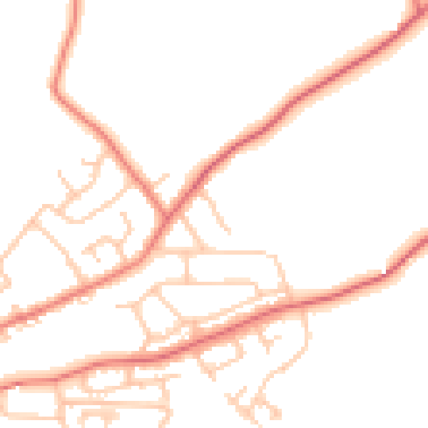
Daytime· 07:00 – 23:00
50.8dB

Night-time· 23:00 – 07:00
39.8dB