22 Donsby Road, Liverpool, L9 9AL
About 22 Donsby Road
22 Donsby Road is a semi-detached house in Liverpool (L9 9AL). It has a recorded floor area of 84 m² (around 904 sq ft), construction records dating it to before 1900 and council tax band B. The latest certificate (July 2013) shows an E (score 43), well below the UK norm with real room to improve. The recommended improvements would lift it to B (score 85), a 3-band jump. The latest certificate is from July 2013, so improvements made since then won't be reflected.
Held since March 1995 — that's 31 years off the open market, well above the local norm. Only one transfer is on record with HM Land Registry, suggesting it has stayed in the same hands for a long time. Today's modelled estimate of £150,000 sits 306% above the 1995 sale of £36,950. On a £-per-square-foot basis, the last sale (£41/sq ft) was about 65.6% below the postcode norm.
Know exactly what you're buying at 22 Donsby Road
Before you offer, see what the listing won't tell you, the true value, the red flags and the full history.
Already flagged here
Valuation
against the asking price
Risks
planning & flood
Sold prices
similar homes nearby
Trends
the local market
Energy performance
22 Donsby Road's carbon output runs well above what efficient homes in the postcode produce.
EPC Expired
This certificate is over 10 years old and is no longer valid.Expired 09 Jul 2023
EPC Rating
Planning history
22 Donsby Road has no planning applications on record.
Notable planning nearby
1applications of note in the surrounding area
We flagged 1 thing worth checking at 22 Donsby Road
Independent checks surfaced things a buyer would want to understand before offering. The report explains each one in full, with the underlying data and what to ask.
- Larger development activity nearby
30-day money-back guarantee
Sales history & valuation
22 Donsby Road's modelled value sits at over four times its earliest registered sale price (1995).
£150,000
Modelled from EPC, postcode comparables.
£36,950
Recorded with HM Land Registry.
Sales timeline
30 March 1995Most recent
£36,950
Median price across the last 5 sales in L9 9AL: £161,000 (2025–2023).
Everything we know about 22 Donsby Road, in one report
What it's really worth, what could be wrong, and the planning, sales and area data in full.
What we flagged
- Larger development activity nearby

Versus other Donsby Road homes
On price per m², 22 Donsby Road runs well behind the street norm.
Price per m²
£440
Street avg £1,642
Floor Area
84 m²
Street avg 85 m²
Habitable Rooms
4 rooms
Street avg 5 rooms
CO₂ Emissions
6.1 t/year
Street avg 5.3 t/year
Similar properties nearby
The neighbourhood at a glance
Rail-style transport is unusually close for this postcode.
Crime
33/mo
Steady year-on-year across the wider district.
Nearest stop
0.2 km
Solar Road — bus stop.
Closest school
0.1 km
Blessed Sacrament Catholic Primary School. 42 schools nearby.
Go deeper on the local area
The full report breaks down crime, transport links, schools and air quality in depth.
Road noise across the postcode
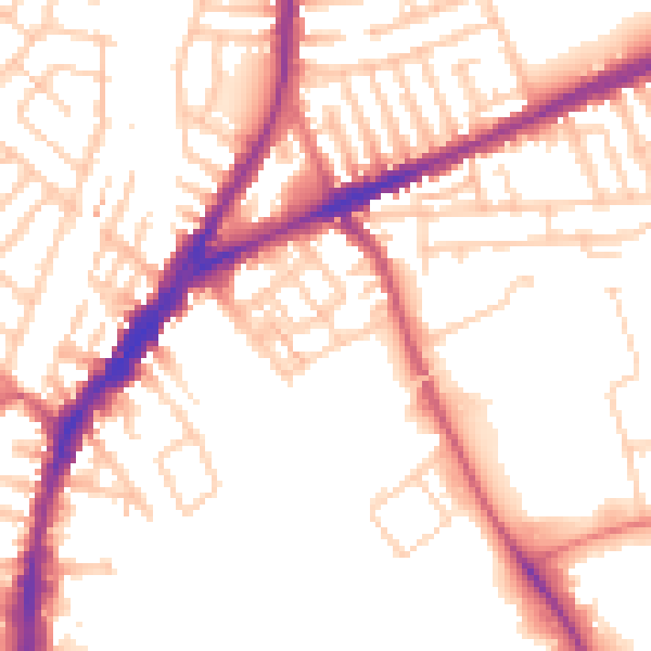
Daytime· 07:00 – 23:00
52.9dB

Night-time· 23:00 – 07:00
43.6dB