7 Donsby Road, Liverpool, L9 9AL
About 7 Donsby Road
7 Donsby Road is a three-bedroom mid-terrace house in Liverpool (L9 9AL). It has a recorded floor area of 81 m² (around 872 sq ft), construction records dating it to 1930-1949 and council tax band B. Tenure is freehold. The latest certificate (May 2023) shows a C (score 73). When first surveyed in March 2009 the rating was D, the property has climbed 1 band since. Between certificates, window efficiency went from Average to Good; while wall efficiency dropped from Good to Poor and hot-water efficiency dropped from Very Good to Good. The recommended improvements would push it to B (score 88). Our model identifies extension potential, subject to local planning policy.
On energy efficiency it sits in the top 10% of properties in this postcode. It changed hands recently, sold May 2025 for £200,000. Across 2019–2025, sale prices on this property compounded at 10.7% per year. On a £-per-square-foot basis, the last sale (£229/sq ft) was about 113% above the typical sold price in the postcode.
Know exactly what you're buying at 7 Donsby Road
Before you offer, see what the listing won't tell you, the true value, the red flags and the full history.
Already flagged here
Valuation
against the asking price
Risks
planning & flood
Sold prices
similar homes nearby
Trends
the local market
What this property has
Inside
- Bedrooms3
- Bathrooms1
- EnsuiteYes
- FireplaceYes
Outside
- Private gardenRear
Building
- TenureFreehold
- Heating systemGas
- RefurbishedYes
- Extension potentialPossible
Energy performance
7 Donsby Road ranks among the most efficient homes in the postcode for energy use.
EPC Rating
Property Improvements
Changes detected from historical EPC data
Heating controls upgraded for better temperature management
Hot water efficiency decreased
Window efficiency improved
Planning history
7 Donsby Road has no planning applications on record.
Notable planning nearby
1applications of note in the surrounding area
We flagged 1 thing worth checking at 7 Donsby Road
Independent checks surfaced things a buyer would want to understand before offering. The report explains each one in full, with the underlying data and what to ask.
- Larger development activity nearby
30-day money-back guarantee
Sales history & valuation
7 Donsby Road saw 3 transfers in just over a decade — high turnover for the postcode.
£213,000
Modelled from EPC, postcode comparables and a sale-price growth of 10.7% per year over 6 years.
£200,000
Growth on file: 10.7% per year over 6 years.
Sales timeline
22 May 2025Most recent
£200,000
+185.7%over 2 years21 May 2023
£70,000
-34.6%over 4 years4 April 2019
£107,000
Median price across the last 5 sales in L9 9AL: £152,000 (2025–2019).
Everything we know about 7 Donsby Road, in one report
What it's really worth, what could be wrong, and the planning, sales and area data in full.
What we flagged
- Larger development activity nearby

Versus other Donsby Road homes
On epc rating, 7 Donsby Road stands well clear of the street.
Price per m²
£2,469
Street avg £1,416
Floor Area
81 m²
Street avg 86 m²
Habitable Rooms
4 rooms
Street avg 5 rooms
CO₂ Emissions
2.6 t/year
Street avg 5.6 t/year
Similar properties nearby
The neighbourhood at a glance
Rail-style transport is unusually close for this postcode.
Crime
33/mo
Steady year-on-year across the wider district.
Nearest stop
0.2 km
Solar Road — bus stop.
Closest school
0.1 km
Blessed Sacrament Catholic Primary School. 42 schools nearby.
Go deeper on the local area
The full report breaks down crime, transport links, schools and air quality in depth.
Road noise across the postcode
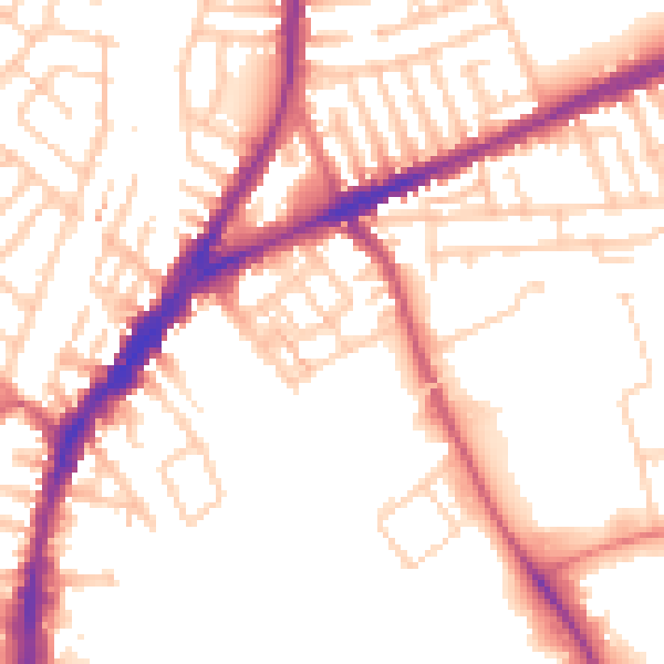
Daytime· 07:00 – 23:00
52.9dB

Night-time· 23:00 – 07:00
43.6dB