19 Donsby Road, Liverpool, L9 9AL
About 19 Donsby Road
19 Donsby Road is a three-bedroom semi-detached house in Liverpool (L9 9AL). It has a recorded floor area of 83 m² (around 893 sq ft), construction records dating it to 1930-1949 and council tax band B. The latest certificate (September 2019) shows a D (score 61), on the cusp of jumping into the C band. The rating has held steady at D across 2 certificates since February 2009. Between certificates, wall efficiency dropped from Poor to Very Poor. The recommended improvements would lift it to B (score 86), a 2-band jump.
Today's modelled estimate of £192,000 is 32.4% above the 2024 sale price. On a £-per-square-foot basis, the last sale (£162/sq ft) was about 50.7% above the typical sold price in the postcode. Last sale on file: £145,000 in September 2024. One historical planning record sits against the property in 2023.
Know exactly what you're buying at 19 Donsby Road
Before you offer, see what the listing won't tell you, the true value, the red flags and the full history.
Already flagged here
Valuation
against the asking price
Risks
planning & flood
Sold prices
similar homes nearby
Trends
the local market
What this property has
Inside
- Bedrooms3
- Bathrooms1
Energy performance
Recommended upgrades on file would lift this property by multiple EPC bands.
EPC Rating
Property Improvements
Changes detected from historical EPC data
Windows upgraded, improving insulation
Planning history
- Feb 2023Change Of UseFullIn report
To use dwellinghouse for mixed use purposes as dwellinghouse and for operation of business as an executive travel business
- Reference
- 22F/3322
We flagged 1 thing worth checking at 19 Donsby Road
Independent checks surfaced things a buyer would want to understand before offering. The report explains each one in full, with the underlying data and what to ask.
- Larger development activity nearby
30-day money-back guarantee
Sales history & valuation
19 Donsby Road valuation sits well clear of the typical sold price in this postcode.
£192,000
Modelled from EPC, postcode comparables.
£145,000
Recorded with HM Land Registry.
Sales timeline
11 September 2024Most recent
£145,000
Median price across the last 5 sales in L9 9AL: £161,000 (2025–2023).
Everything we know about 19 Donsby Road, in one report
What it's really worth, what could be wrong, and the planning, sales and area data in full.
What we flagged
- Larger development activity nearby

Versus other Donsby Road homes
EPC Rating for 19 Donsby Road runs comfortably ahead of the street norm.
Price per m²
£1,747
Street avg £1,497
Floor Area
83 m²
Street avg 86 m²
Habitable Rooms
5 rooms
Street avg 5 rooms
CO₂ Emissions
4.0 t/year
Street avg 5.5 t/year
Similar properties nearby
The neighbourhood at a glance
Rail-style transport is unusually close for this postcode.
Crime
33/mo
Steady year-on-year across the wider district.
Nearest stop
0.2 km
Solar Road — bus stop.
Closest school
0.1 km
Blessed Sacrament Catholic Primary School. 42 schools nearby.
Go deeper on the local area
The full report breaks down crime, transport links, schools and air quality in depth.
Road noise across the postcode
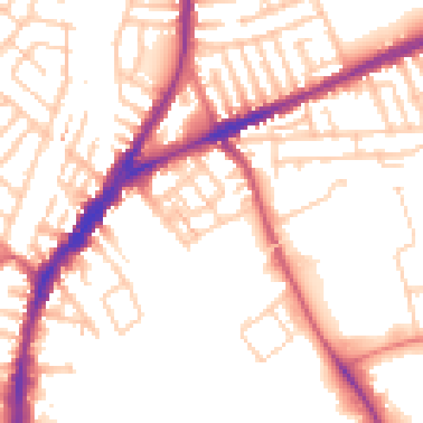
Daytime· 07:00 – 23:00
52.9dB

Night-time· 23:00 – 07:00
43.6dB