15 Donsby Road, Liverpool, L9 9AL
About 15 Donsby Road
15 Donsby Road is a mid-terrace house in Liverpool (L9 9AL). It has a recorded floor area of 91 m² (around 980 sq ft), construction records dating it to 1930-1949 and council tax band B. The latest certificate (February 2022) shows a C (score 71). When first surveyed in November 2014 the rating was D, the property has climbed 1 band since. Between certificates, window efficiency went from Average to Good and lighting went from Average to Very Good; while roof efficiency dropped from Good to Average. The recommended improvements would push it to B (score 85).
On energy efficiency it sits in the top 10% of properties in this postcode. Today's modelled estimate of £181,000 sits 88.5% above the 2015 sale of £96,000. On a £-per-square-foot basis, the last sale (£98/sq ft) was about 17.4% below the postcode norm. Last changed hands 11 years ago, in June 2015.
Know exactly what you're buying at 15 Donsby Road
Before you offer, see what the listing won't tell you, the true value, the red flags and the full history.
Already flagged here
Valuation
against the asking price
Risks
planning & flood
Sold prices
similar homes nearby
Trends
the local market
Energy performance
15 Donsby Road ranks among the most efficient homes in the postcode for energy use.
EPC Rating
Property Improvements
Changes detected from historical EPC data
Heating controls upgraded for better temperature management
Window efficiency improved
Floor insulation added or improved
More low energy lighting installed
Planning history
15 Donsby Road has no planning applications on record.
Notable planning nearby
1applications of note in the surrounding area
We flagged 1 thing worth checking at 15 Donsby Road
Independent checks surfaced things a buyer would want to understand before offering. The report explains each one in full, with the underlying data and what to ask.
- Larger development activity nearby
30-day money-back guarantee
Sales history & valuation
15 Donsby Road valuation sits well clear of the typical sold price in this postcode.
£181,000
Modelled from EPC, postcode comparables.
£96,000
Recorded with HM Land Registry.
Sales timeline
14 June 2015Most recent
£96,000
Median price across the last 5 sales in L9 9AL: £161,000 (2025–2023).
Everything we know about 15 Donsby Road, in one report
What it's really worth, what could be wrong, and the planning, sales and area data in full.
What we flagged
- Larger development activity nearby

Versus other Donsby Road homes
15 Donsby Road outperforms the street on epc rating by a wide margin.
Price per m²
£1,055
Street avg £1,573
Floor Area
91 m²
Street avg 85 m²
Habitable Rooms
5 rooms
Street avg 5 rooms
CO₂ Emissions
3.1 t/year
Street avg 5.5 t/year
Similar properties nearby
The neighbourhood at a glance
Rail-style transport is unusually close for this postcode.
Crime
33/mo
Steady year-on-year across the wider district.
Nearest stop
0.2 km
Solar Road — bus stop.
Closest school
0.1 km
Blessed Sacrament Catholic Primary School. 42 schools nearby.
Go deeper on the local area
The full report breaks down crime, transport links, schools and air quality in depth.
Road noise across the postcode
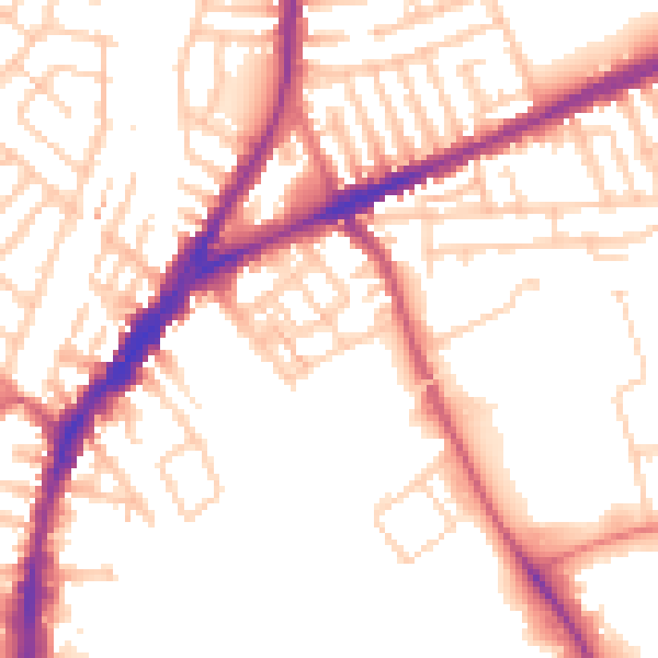
Daytime· 07:00 – 23:00
52.9dB

Night-time· 23:00 – 07:00
43.6dB