11 Reads Court, Liverpool, L9 8EU
About 11 Reads Court
11 Reads Court is a four-bedroom detached house in Liverpool (L9 8EU). It has a recorded floor area of 94 m² (around 1012 sq ft), construction records dating it to 1991-1995 and council tax band D. The latest certificate (July 2019) shows a D (score 59), a step below the typical UK home. The recommended improvements would lift it to B (score 83), a 2-band jump.
Today's modelled estimate of £259,000 sits 61.9% above the 2019 sale of £160,000. At 94 m² it's 16.2% larger than the typical home in the postcode (81 m² median across 4 EPCs). Most recent transfer: August 2019 at £160,000.
Know exactly what you're buying at 11 Reads Court
Before you offer, see what the listing won't tell you, the true value, the red flags and the full history.
Valuation
against the asking price
Risks
planning & flood
Sold prices
similar homes nearby
Trends
the local market
What this property has
Inside
- Bedrooms4
- Bathrooms2
- Dining roomYes
- CloakroomYes
- EnsuiteYes
Outside
- Private gardenFront and rear
- GarageYes
Energy performance
Recommended upgrades on file would lift this property by multiple EPC bands.
EPC Rating
Planning history
11 Reads Court has no planning applications on record.
Notable planning nearby
1applications of note in the surrounding area
Sales history & valuation
11 Reads Court valuation sits well clear of the typical sold price in this postcode.
£259,000
Modelled from EPC, postcode comparables.
£160,000
Recorded with HM Land Registry.
Sales timeline
21 August 2019Most recent
£160,000
Median price across the last 5 sales in L9 8EU: £130,000 (2024–2002).
Everything we know about 11 Reads Court, in one report
What it's really worth, what could be wrong, and the planning, sales and area data in full.
- Am I paying too much?
- Is something wrong with it?
- Is the agent's story true?
- Will it hold its value?

Versus other Reads Court homes
11 Reads Court is notably below the street on epc rating.
EPC Rating
59 (D)
Street avg 66 (D)
Floor Area
94 m²
Street avg 81 m²
CO₂ Emissions
4.8 t/year
Street avg 3.5 t/year
Habitable Rooms
6 rooms
Street avg 6 rooms
Similar properties nearby
The neighbourhood at a glance
Rail-style transport is unusually close for this postcode.
Crime
33/mo
Steady year-on-year across the wider district.
Nearest stop
0.1 km
Bull Lane — bus stop.
Closest school
0.8 km
Rice Lane Primary School and Nursery. 44 schools nearby.
Go deeper on the local area
The full report breaks down crime, transport links, schools and air quality in depth.
Road noise across the postcode
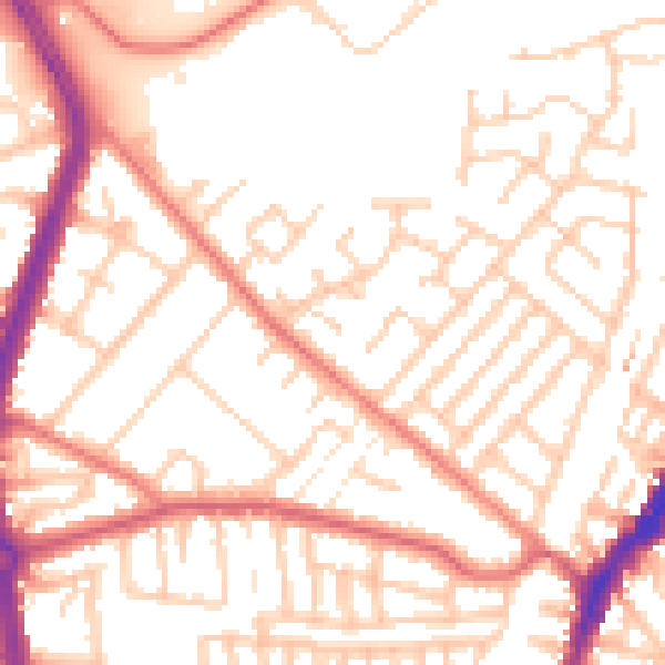
Daytime· 07:00 – 23:00
52.9dB

Night-time· 23:00 – 07:00
42.1dB