18 Cobb Avenue, Liverpool, L21 8JA
About 18 Cobb Avenue
18 Cobb Avenue is a mid-terrace house in Liverpool (L21 8JA). It has a recorded floor area of 61 m² (around 657 sq ft), construction records dating it to 1900-1929 and council tax band A. The latest certificate (October 2024) shows a C (score 69), just inside the C band. The rating has held steady at C across 3 certificates since August 2010. Between certificates, lighting went from Poor to Very Good; while hot-water efficiency dropped from Very Good to Good and main heating dropped from Very Good to Good. The recommended improvements would push it to B (score 89).
Across 2008–2022, sale prices on this property compounded at 2.9% per year. Today's modelled estimate of £114,000 sits 52% above the 2022 sale of £75,000. On a £-per-square-foot basis, the last sale (£114/sq ft) was about 53.1% above the typical sold price in the postcode. Most recent transfer: November 2022 at £75,000. That sale was during the post-pandemic price surge, when transactions cleared materially above pre-2020 trend.
Everything you need to know about 18 Cobb Avenue
The true value, the hidden risks and the full sale history, in one report.
30-day money-back guarantee

The data behind every report


Energy performance
EPC Rating
Property Improvements
Changes detected from historical EPC data
Hot water efficiency decreased
Window efficiency improved
More low energy lighting installed
More low energy lighting installed
Planning history
18 Cobb Avenue has no planning applications on record.
The full report still covers planning activity across the surrounding area.
Sales history & valuation
The latest sale landed in the post-pandemic price surge — useful context when reading the figure.
£114,000
Modelled from EPC, postcode comparables and a sale-price growth of 2.9% per year over 14 years.
£75,000
Growth on file: 2.9% per year over 14 years.
Sales timeline
22 November 2022Most recent
£75,000
+50.0%over 14 years3 November 2008
£50,000
Median price across the last 5 sales in L21 8JA: £65,000 (2025–2013).
Versus other Cobb Avenue homes
18 Cobb Avenue outperforms the street on price per m² by a wide margin.
Price per m²
£1,230
Street avg £762
Floor Area
61 m²
Street avg 62 m²
Habitable Rooms
4 rooms
Street avg 4 rooms
CO₂ Emissions
2.4 t/year
Street avg 3.2 t/year
Everything you need to know about 18 Cobb Avenue
The true value, the hidden risks and the full sale history, in one report.
30-day money-back guarantee
The data behind every report
Similar properties nearby
The neighbourhood at a glance
Reported crime in the wider district is trending notably upward year-on-year.
Crime
4/mo
Rising year-on-year across the wider district.
Nearest stop
0.1 km
Alpha Street — bus stop.
Closest school
0.1 km
King's Lander Primary Academy. 38 schools nearby.
Go deeper on the local area
The full report breaks down crime, transport links, schools and air quality in depth.
Road noise across the postcode
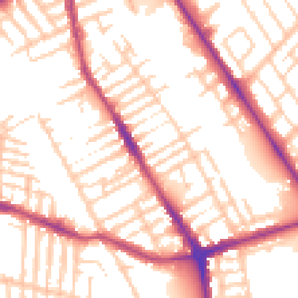
Daytime· 07:00 – 23:00
54.4dB

Night-time· 23:00 – 07:00
45.1dB