11 Cobb Avenue, Liverpool, L21 8JA
About 11 Cobb Avenue
11 Cobb Avenue is a two-bedroom mid-terrace house in Liverpool (L21 8JA). It has a recorded floor area of 58 m² (around 624 sq ft), construction records dating it to 1900-1929 and council tax band A. The latest certificate (August 2016) shows a D (score 67), on the cusp of jumping into the C band. The rating has held steady at D across 3 certificates since February 2013. Between certificates, roof efficiency went from Good to Very Good and lighting went from Good to Very Good. The recommended improvements would lift it to B (score 88), a 2-band jump.
Across 2003–2017, sale prices on this property compounded at 5.7% per year. Today's modelled estimate of £123,000 sits 123.6% above the 2017 sale of £55,000. On a £-per-square-foot basis, the last sale (£88/sq ft) was about 16.9% above the typical sold price in the postcode. Last changed hands 9 years ago, in April 2017.
What this property has
Inside
- Bedrooms2
- Bathrooms1
Everything you need to know about 11 Cobb Avenue
The true value, the hidden risks and the full sale history, in one report.
30-day money-back guarantee

The data behind every report


Energy performance
Recommended upgrades on file would lift this property by multiple EPC bands.
EPC Rating
Property Improvements
Changes detected from historical EPC data
Roof insulation improved
More low energy lighting installed
Planning history
11 Cobb Avenue has no planning applications on record.
The full report still covers planning activity across the surrounding area.
Sales history & valuation
Sale price has at least doubled since 2003.
£123,000
Modelled from EPC, postcode comparables and a sale-price growth of 5.7% per year over 14 years.
£55,000
Growth on file: 5.7% per year over 14 years.
Sales timeline
12 April 2017Most recent
£55,000
-14.0%over 12 years15 February 2005
£63,950
+146.0%over 1 year25 September 2003
£26,000
Median price across the last 5 sales in L21 8JA: £70,000 (2025–2013).
Versus other Cobb Avenue homes
On floor area, 11 Cobb Avenue runs well behind the street norm.
Price per m²
£948
Street avg £793
Floor Area
58 m²
Street avg 62 m²
Habitable Rooms
4 rooms
Street avg 4 rooms
CO₂ Emissions
2.6 t/year
Street avg 3.2 t/year
Everything you need to know about 11 Cobb Avenue
The true value, the hidden risks and the full sale history, in one report.
30-day money-back guarantee
The data behind every report
Similar properties nearby
The neighbourhood at a glance
Reported crime in the wider district is trending notably upward year-on-year.
Crime
4/mo
Rising year-on-year across the wider district.
Nearest stop
0.1 km
Alpha Street — bus stop.
Closest school
0.1 km
King's Lander Primary Academy. 38 schools nearby.
Go deeper on the local area
The full report breaks down crime, transport links, schools and air quality in depth.
Road noise across the postcode
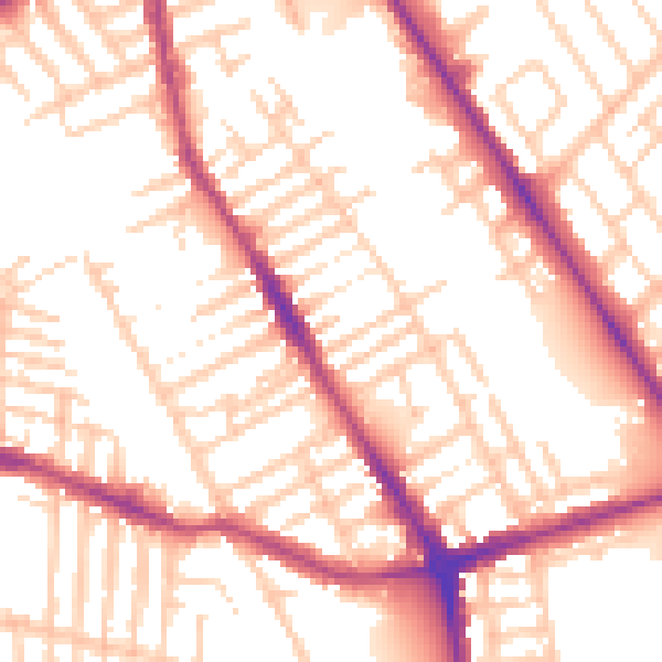
Daytime· 07:00 – 23:00
54.4dB

Night-time· 23:00 – 07:00
45.1dB