5 Robinson Road, Liverpool, L21 7QZ
About 5 Robinson Road
5 Robinson Road is a two-bedroom end-of-terrace house in Liverpool (L21 7QZ). It has a recorded floor area of 78 m² (around 844 sq ft), construction records dating it to 1967-1975 and council tax band A. The latest certificate (October 2008) shows an E (score 42), well below the UK norm with real room to improve. The recommended improvements would push it to D (score 55). The latest certificate is from October 2008, so improvements made since then won't be reflected.
It hasn't traded since October 2003, a hold of 23 years that's notably long for the area. On energy efficiency it sits in the bottom 10% of properties in this postcode — significant headroom for improvement. Today's modelled estimate of £116,000 sits 90.2% above the 2003 sale of £61,000.
What this property has
Inside
- Bedrooms2
Everything you need to know about 5 Robinson Road
The true value, the hidden risks and the full sale history, in one report.
30-day money-back guarantee

The data behind every report


Energy performance
5 Robinson Road sits at the bottom of the postcode for energy efficiency — meaningful headroom to improve.
EPC Expired
This certificate is over 10 years old and is no longer valid.Expired 28 Oct 2018
EPC Rating
Planning history
5 Robinson Road has no planning applications on record.
The full report still covers planning activity across the surrounding area.
Sales history & valuation
5 Robinson Road valuation sits well clear of the typical sold price in this postcode.
£116,000
Modelled from EPC, postcode comparables.
£61,000
Recorded with HM Land Registry.
Sales timeline
23 October 2003Most recent
£61,000
Median price across the last 5 sales in L21 7QZ: £107,500 (2025–2021).
Nearby sales in L21 7QZ
Versus other Robinson Road homes
On epc rating, 5 Robinson Road runs well behind the street norm.
Price per m²
£778
Street avg £1,027
Floor Area
78 m²
Street avg 81 m²
Habitable Rooms
3 rooms
Street avg 4 rooms
CO₂ Emissions
4.8 t/year
Street avg 3.1 t/year
Everything you need to know about 5 Robinson Road
The true value, the hidden risks and the full sale history, in one report.
30-day money-back guarantee
The data behind every report
Similar properties nearby
1 Sefton Moss Villas
L21 7QX
1 Kent Avenue, Litherland
L21 7QJ
1 Amos Avenue
L21 7QH
1 Gale Road, Litherland
L21 7QR
1 Ruby Close, Litherland
L21 7RH
1 Amethyst Close, Litherland
L21 7RD
1 Boundary Road, Litherland
L21 7LA
1 Alexandra Mount
L21 7PN
The neighbourhood at a glance
Reported crime in the wider district is trending notably upward year-on-year.
Crime
4/mo
Rising year-on-year across the wider district.
Nearest stop
0.4 km
Kirkstone Road North — bus stop.
Closest school
0.4 km
Litherland High School. 39 schools nearby.
Go deeper on the local area
The full report breaks down crime, transport links, schools and air quality in depth.
Road noise across the postcode
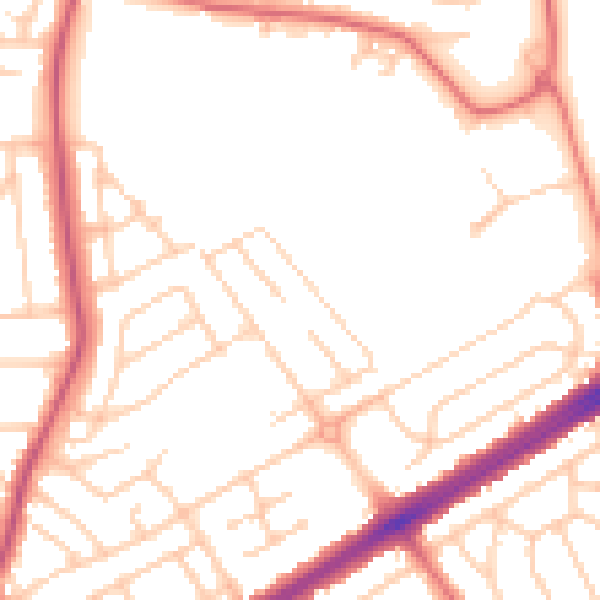
Daytime· 07:00 – 23:00
51.6dB

Night-time· 23:00 – 07:00
41.8dB