89 Robinson Road, Liverpool, L21 7QZ
About 89 Robinson Road
89 Robinson Road is a three-bedroom mid-terrace house in Liverpool (L21 7QZ). It has a recorded floor area of 79 m² (around 850 sq ft), construction records dating it to 1967-1975 and council tax band A. The latest certificate (February 2022) shows a C (score 73). When first surveyed in July 2019 the rating was D, the property has climbed 1 band since. Between certificates, hot-water efficiency went from Very Poor to Good and main heating went from Average to Good; while window efficiency dropped from Good to Average. The recommended improvements would push it to B (score 87).
It changed hands recently, sold October 2025 for £115,000. Across 2011–2025, sale prices on this property compounded at 4.8% per year. Today's modelled estimate of £142,000 is 23.5% above the 2025 sale price. On a £-per-square-foot basis, the last sale (£135/sq ft) was about 79.7% above the typical sold price in the postcode.
What this property has
Inside
- Bedrooms3
- Bathrooms1
- Dining roomYes
Outside
- Private gardenYes
Building
- RefurbishedYes
Everything you need to know about 89 Robinson Road
The true value, the hidden risks and the full sale history, in one report.
30-day money-back guarantee

The data behind every report


Energy performance
EPC Rating
Property Improvements
Changes detected from historical EPC data
Replaced storage heaters with gas boiler
Connected to mains gas supply
Hot water system upgraded
Planning history
89 Robinson Road has no planning applications on record.
The full report still covers planning activity across the surrounding area.
Sales history & valuation
89 Robinson Road valuation sits well clear of the typical sold price in this postcode.
£142,000
Modelled from EPC, postcode comparables and a sale-price growth of 4.8% per year over 14 years.
£115,000
Growth on file: 4.8% per year over 14 years.
Sales timeline
31 October 2025Most recent
£115,000
+91.7%over 13 years21 December 2011
£60,000
Median price across the last 5 sales in L21 7QZ: £90,000 (2023–2021).
Nearby sales in L21 7QZ
Versus other Robinson Road homes
89 Robinson Road is notably below the street on years held.
Price per m²
£1,456
Street avg £974
Floor Area
79 m²
Street avg 81 m²
Habitable Rooms
5 rooms
Street avg 4 rooms
CO₂ Emissions
2.5 t/year
Street avg 3.1 t/year
Everything you need to know about 89 Robinson Road
The true value, the hidden risks and the full sale history, in one report.
30-day money-back guarantee
The data behind every report
Similar properties nearby
1 Kent Avenue, Litherland
L21 7QJ
1 Amos Avenue
L21 7QH
1 Gale Road, Litherland
L21 7QR
1 Ruby Close, Litherland
L21 7RH
1 Amethyst Close, Litherland
L21 7RD
1 Boundary Road, Litherland
L21 7LA
1 Oxford Avenue
L21 7LT
1 Opal Close, Litherland
L21 7RE
The neighbourhood at a glance
Reported crime in the wider district is trending notably upward year-on-year.
Crime
4/mo
Rising year-on-year across the wider district.
Nearest stop
0.4 km
Kirkstone Road North — bus stop.
Closest school
0.4 km
Litherland High School. 39 schools nearby.
Go deeper on the local area
The full report breaks down crime, transport links, schools and air quality in depth.
Road noise across the postcode
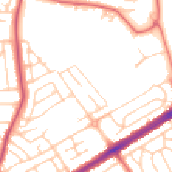
Daytime· 07:00 – 23:00
51.6dB

Night-time· 23:00 – 07:00
41.8dB