3 Thornbridge Avenue, Liverpool, L21 5JU
About 3 Thornbridge Avenue
3 Thornbridge Avenue is a three-bedroom semi-detached house in Liverpool (L21 5JU). It has a recorded floor area of 88 m² (around 947 sq ft), construction records dating it to 1930-1949 and council tax band C. The latest certificate (January 2026) shows a C (score 70). This certificate was lodged in the last six months, so the rating reflects current condition.
Untraded for 16 years, with the last transfer in November 2010. Today's modelled estimate of £160,000 sits 77.8% above the 2010 sale of £90,000. On a £-per-square-foot basis, the last sale (£95/sq ft) was about 30.7% below the postcode norm. Its energy rating outperforms most of the postcode (better than 78% of similar EPCs).
What this property has
Inside
- Bedrooms3
Outside
- Private gardenYes
- ParkingYes
Building
- Central heatingYes
Everything you need to know about 3 Thornbridge Avenue
The true value, the hidden risks and the full sale history, in one report.
30-day money-back guarantee

The data behind every report


Energy performance
The EPC has just been inspected, so the rating reflects current condition.
EPC Rating
Planning history
3 Thornbridge Avenue has no planning applications on record.
The full report still covers planning activity across the surrounding area.
Sales history & valuation
£160,000
Modelled from EPC, postcode comparables.
£90,000
Recorded with HM Land Registry.
Sales timeline
22 November 2010Most recent
£90,000
Median price across the last 5 sales in L21 5JU: £162,000 (2025–2016).
Nearby sales in L21 5JU
1 Thornbridge Avenue, Liverpool, L21 5JU
Sold Sept 2025
£295,5005 Thornbridge Avenue, Liverpool, L21 5JU
Sold Sept 2018
£162,00011 Thornbridge Avenue, Liverpool, L21 5JU
Sold Nov 2017
£170,00035 Thornbridge Avenue, Liverpool, L21 5JU
Sold Jun 2016
£162,00025 Thornbridge Avenue, Liverpool, L21 5JU
Sold Feb 2012
£145,000
Versus other Thornbridge Avenue homes
On co₂ emissions, 3 Thornbridge Avenue stands well clear of the street.
Price per m²
£1,023
Street avg £1,650
Floor Area
88 m²
Street avg 97 m²
Habitable Rooms
5 rooms
Street avg 5 rooms
CO₂ Emissions
3.0 t/year
Street avg 4.8 t/year
Everything you need to know about 3 Thornbridge Avenue
The true value, the hidden risks and the full sale history, in one report.
30-day money-back guarantee
The data behind every report
Similar properties nearby
10 Keswick Drive
L21 5JQ
1 Silverdale Drive
L21 5HT
10 St Matthews Avenue
L21 5JS
10 Arnside
L21 5JH
1 Hawkshead Drive
L21 5JE
11 Ennerdale Drive
L21 5HX
1 Ennerdale Drive
L21 5HX
1 Netherton Park Road
L21 5JD
The neighbourhood at a glance
Reported crime in the wider district is trending notably upward year-on-year.
Crime
4/mo
Rising year-on-year across the wider district.
Nearest stop
0.1 km
Eccleshall Avenue — bus stop.
Closest school
0.4 km
St Robert Bellarmine Catholic Primary School. 41 schools nearby.
Go deeper on the local area
The full report breaks down crime, transport links, schools and air quality in depth.
Road noise across the postcode
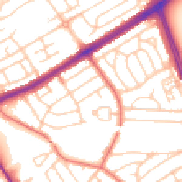
Daytime· 07:00 – 23:00
53.3dB

Night-time· 23:00 – 07:00
42.4dB