16 Hawkshead Drive, Liverpool, L21 5JF
About 16 Hawkshead Drive
16 Hawkshead Drive is a three-bedroom semi-detached house in Liverpool (L21 5JF). It has a recorded floor area of 80 m² (around 861 sq ft), construction records dating it to 1930-1949 and council tax band C. The latest certificate (June 2023) shows a C (score 73). When first surveyed in April 2012 the rating was E, the property has climbed 2 bands since. Between certificates, window efficiency went from Average to Good and lighting went from Average to Very Good; while wall efficiency dropped from Good to Average and roof efficiency dropped from Very Good to Good. The recommended improvements would push it to B (score 86). Other recorded features include a conservatory.
Its energy rating outperforms most of the postcode (better than 83% of similar EPCs). Today's modelled estimate of £238,000 is 11.7% above the 2024 sale price. On a £-per-square-foot basis, the last sale (£247/sq ft) was about 48.8% above the typical sold price in the postcode. Last sale on file: £213,000 in January 2024.
What this property has
Inside
- Bedrooms3
- Bathrooms1
- Dining roomYes
- ConservatoryYes
Outside
- Private gardenRear
- GarageYes
Everything you need to know about 16 Hawkshead Drive
The true value, the hidden risks and the full sale history, in one report.
30-day money-back guarantee

The data behind every report


Energy performance
EPC Rating
Property Improvements
Changes detected from historical EPC data
Heating controls upgraded for better temperature management
Window efficiency improved
More low energy lighting installed
Planning history
16 Hawkshead Drive has no planning applications on record.
The full report still covers planning activity across the surrounding area.
Sales history & valuation
16 Hawkshead Drive valuation sits well clear of the typical sold price in this postcode.
£238,000
Modelled from EPC, postcode comparables.
£213,000
Recorded with HM Land Registry.
Sales timeline
12 January 2024Most recent
£213,000
Median price across the last 5 sales in L21 5JF: £172,000 (2025–2015).
Nearby sales in L21 5JF
Versus other Hawkshead Drive homes
On epc rating, 16 Hawkshead Drive stands well clear of the street.
Price per m²
£2,663
Street avg £1,964
Floor Area
80 m²
Street avg 83 m²
Habitable Rooms
5 rooms
Street avg 5 rooms
CO₂ Emissions
2.6 t/year
Street avg 4.4 t/year
Everything you need to know about 16 Hawkshead Drive
The true value, the hidden risks and the full sale history, in one report.
30-day money-back guarantee
The data behind every report
Similar properties nearby
11 Ennerdale Drive
L21 5HX
1 Hawkshead Drive
L21 5JE
1 Ennerdale Drive
L21 5HX
10 Arnside
L21 5JH
10 St Matthews Avenue
L21 5JS
1 Silverdale Drive
L21 5HT
1 Netherton Park Road
L21 5JD
10 Silverdale Drive
L21 5HU
The neighbourhood at a glance
Reported crime in the wider district is trending notably upward year-on-year.
Crime
4/mo
Rising year-on-year across the wider district.
Nearest stop
0.2 km
Dunnings Bridge Road — bus stop.
Closest school
0.4 km
The Salesian Academy of St John Bosco. 40 schools nearby.
Go deeper on the local area
The full report breaks down crime, transport links, schools and air quality in depth.
Road noise across the postcode
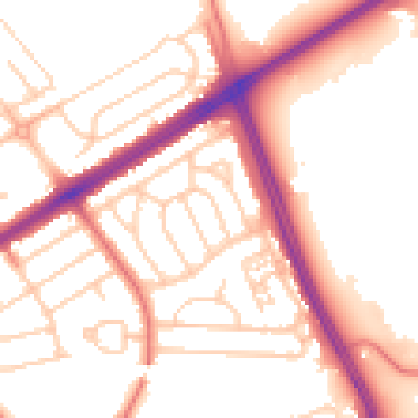
Daytime· 07:00 – 23:00
53.7dB

Night-time· 23:00 – 07:00
44.3dB