119 Gorsey Lane, Ford, Liverpool, L21 0DG
About 119 Gorsey Lane
119 Gorsey Lane is a three-bedroom mid-terrace house in Ford, Liverpool, Liverpool (L21 0DG). It has a recorded floor area of 69 m² (around 743 sq ft), construction records dating it to 1930-1949 and council tax band A. The latest certificate (November 2013) shows a D (score 57), a step below the typical UK home. The recommended improvements would lift it to B (score 91), a 2-band jump. The latest certificate is from November 2013, so improvements made since then won't be reflected.
Untraded for 20 years, with the last transfer in October 2006. Today's modelled estimate of £125,000 is 38.9% above the 2006 sale price.
What this property has
Inside
- Bedrooms3
- Dining roomYes
Outside
- Private gardenYes
Building
- Heating systemGas
Everything you need to know about 119 Gorsey Lane
The true value, the hidden risks and the full sale history, in one report.
30-day money-back guarantee

The data behind every report


Energy performance
Recommended upgrades on file would lift this property by multiple EPC bands.
EPC Expired
This certificate is over 10 years old and is no longer valid.Expired 21 Nov 2023
EPC Rating
Planning history
119 Gorsey Lane has no planning applications on record.
Notable planning nearby
3applications of note in the surrounding area
Sales history & valuation
119 Gorsey Lane valuation sits well clear of the typical sold price in this postcode.
£125,000
Modelled from EPC, postcode comparables.
£90,000
Recorded with HM Land Registry.
Sales timeline
26 October 2006Most recent
£90,000
Median price across the last 5 sales in L21 0DG: £126,000 (2024–2020).
Nearby sales in L21 0DG
99 Gorsey Lane, Ford, Liverpool, L21 0DG
Sold Dec 2024
£107,000117 Gorsey Lane, Ford, Liverpool, L21 0DG
Sold May 2023
£145,000103 Gorsey Lane, Ford, Liverpool, L21 0DG
Sold Mar 2022
£126,000107 Gorsey Lane, Ford, Liverpool, L21 0DG
Sold Feb 2021
£130,000109 Gorsey Lane, Ford, Liverpool, L21 0DG
Sold Dec 2020
£90,000
Versus other Gorsey Lane homes
On epc rating, 119 Gorsey Lane runs well behind the street norm.
Price per m²
£1,304
Street avg £1,354
Floor Area
69 m²
Street avg 74 m²
Habitable Rooms
4 rooms
Street avg 4 rooms
CO₂ Emissions
3.9 t/year
Street avg 2.8 t/year
Everything you need to know about 119 Gorsey Lane
The true value, the hidden risks and the full sale history, in one report.
30-day money-back guarantee
The data behind every report
Similar properties nearby
1 Kenmore Cottages, Gorsey Lane, Ford
L21 0EH
1 Bowland Drive
L21 0JA
1 Octavia Hill Road
L21 0DY
1 Ford Lane
L21 0HG
1 Kirkstone Road West
L21 0EG
1 Cemetery Cottages, Sterrix Lane
L21 0DD
1 Heathview
L21 0HA
1 Pankhurst Road
L21 0EE
The neighbourhood at a glance
Reported crime in the wider district is trending notably upward year-on-year.
Crime
4/mo
Rising year-on-year across the wider district.
Nearest stop
0.1 km
Green Lane — bus stop.
Closest school
0.4 km
Our Lady Queen of Peace Catholic Primary School. 36 schools nearby.
Go deeper on the local area
The full report breaks down crime, transport links, schools and air quality in depth.
Road noise across the postcode
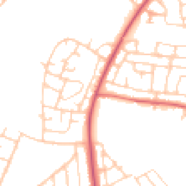
Daytime· 07:00 – 23:00
48.3dB

Night-time· 23:00 – 07:00
39.2dB