1 Heathview, Liverpool, L21 0HA
About 1 Heathview
1 Heathview is a two-bedroom mid-terrace house in Liverpool (L21 0HA). It has a recorded floor area of 68 m² (around 737 sq ft), construction records dating it to 1950-1966 and council tax band A. The latest certificate (December 2008) shows a C (score 76), near the top of the C band. The latest certificate is from December 2008, so improvements made since then won't be reflected. The home occupies a cul-de-sac position.
It hasn't traded since June 2009, a hold of 17 years that's notably long for the area. That sale fell during the post-crash dip, which often skews comparisons against later neighbouring sales. Today's modelled estimate of £112,000 sits 105.5% above the 2009 sale of £54,500. Its energy rating outperforms most of the postcode (better than 88% of similar EPCs).
What this property has
Inside
- Bedrooms2
- Dining roomYes
Outside
- Private gardenFront and rear
- Cul-de-sacYes
Building
- Central heatingYes
Everything you need to know about 1 Heathview
The true value, the hidden risks and the full sale history, in one report.
30-day money-back guarantee

The data behind every report


Energy performance
1 Heathview's EPC is over a decade old — improvements since won't be reflected.
EPC Expired
This certificate is over 10 years old and is no longer valid.Expired 09 Dec 2018
EPC Rating
Planning history
1 Heathview has no planning applications on record.
Notable planning nearby
3applications of note in the surrounding area
Sales history & valuation
The latest sale fell during the post-2008 dip, often a low-water mark in price comparisons.
£112,000
Modelled from EPC, postcode comparables.
£54,500
Recorded with HM Land Registry.
Sales timeline
25 June 2009Most recent
£54,500
Median price across the last 5 sales in L21 0HA: £79,000 (2018–2000).
Versus other Heathview homes
1 Heathview outperforms the street on epc rating by a wide margin.
EPC Rating
76 (C)
Street avg 64 (D)
Floor Area
68 m²
Street avg 73 m²
CO₂ Emissions
2.3 t/year
Street avg 3.2 t/year
Habitable Rooms
3 rooms
Street avg 4 rooms
Everything you need to know about 1 Heathview
The true value, the hidden risks and the full sale history, in one report.
30-day money-back guarantee
The data behind every report
Similar properties nearby
1 Cemetery Cottages, Sterrix Lane
L21 0DD
1 Kenmore Cottages, Gorsey Lane, Ford
L21 0EH
1 Bowland Drive
L21 0JA
1 Octavia Hill Road
L21 0DY
1 Ford Lane
L21 0HG
1 Kirkstone Road West
L21 0EG
1 Farm View
L21 0EL
1 Ford View
L21 0EU
The neighbourhood at a glance
Reported crime in the wider district is trending notably upward year-on-year.
Crime
4/mo
Rising year-on-year across the wider district.
Nearest stop
0.1 km
Ford View — bus stop.
Closest school
0.4 km
Our Lady Queen of Peace Catholic Primary School. 37 schools nearby.
Go deeper on the local area
The full report breaks down crime, transport links, schools and air quality in depth.
Road noise across the postcode
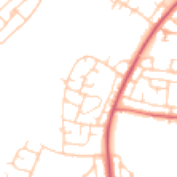
Daytime· 07:00 – 23:00
47.5dB

Night-time· 23:00 – 07:00
38.9dB