18 Hornby Road, Bootle, L20 5BJ
About 18 Hornby Road
18 Hornby Road is a three-bedroom mid-terrace house in Bootle (L20 5BJ). It has a recorded floor area of 87 m² (around 936 sq ft), construction records dating it to 1900-1929 and council tax band A. The latest certificate (July 2018) shows a D (score 65), on the cusp of jumping into the C band. The recommended improvements would lift it to B (score 89), a 2-band jump.
Held since January 2006 — that's 20 years off the open market, well above the local norm. Today's modelled estimate of £114,000 sits 52% above the 2006 sale of £75,000. On a £-per-square-foot basis, the last sale (£80/sq ft) was about 42.7% above the typical sold price in the postcode.
What this property has
Inside
- Bedrooms3
- Bathrooms1
- Dining roomYes
Building
- Heating systemGas
Everything you need to know about 18 Hornby Road
The true value, the hidden risks and the full sale history, in one report.
30-day money-back guarantee

The data behind every report


Energy performance
Recommended upgrades on file would lift this property by multiple EPC bands.
EPC Rating
Planning history
18 Hornby Road has no planning applications on record.
Notable planning nearby
4applications of note in the surrounding area
We flagged 1 thing worth checking at 18 Hornby Road
Independent checks surfaced things a buyer would want to understand before offering. The report explains each one in full, with the underlying data and what to ask.
- Larger development activity nearby
30-day money-back guarantee
Sales history & valuation
18 Hornby Road valuation sits well clear of the typical sold price in this postcode.
£114,000
Modelled from EPC, postcode comparables.
£75,000
Recorded with HM Land Registry.
Sales timeline
30 January 2006Most recent
£75,000
Median price across the last 5 sales in L20 5BJ: £97,500 (2023–2021).
Versus other Hornby Road homes
18 Hornby Road outperforms the street on years held by a wide margin.
Price per m²
£862
Street avg £727
Floor Area
87 m²
Street avg 89 m²
Habitable Rooms
5 rooms
Street avg 5 rooms
CO₂ Emissions
3.7 t/year
Street avg 4.0 t/year
Everything you need to know about 18 Hornby Road
The true value, the hidden risks and the full sale history, in one report.
30-day money-back guarantee
The data behind every report
Similar properties nearby
The neighbourhood at a glance
Rail-style transport is unusually close for this postcode.
Crime
7/mo
Rising year-on-year across the wider district.
Nearest stop
0.1 km
Marsh Lane — bus stop.
Closest school
0.4 km
Linacre Primary School. 35 schools nearby.
Go deeper on the local area
The full report breaks down crime, transport links, schools and air quality in depth.
Road noise across the postcode
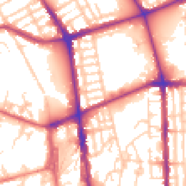
Daytime· 07:00 – 23:00
56.6dB

Night-time· 23:00 – 07:00
47.4dB