7 Hornby Road, Bootle, L20 5BJ
About 7 Hornby Road
7 Hornby Road is a mid-terrace house in Bootle (L20 5BJ). It has a recorded floor area of 107 m² (around 1152 sq ft), construction records dating it to 1900-1929 and council tax band A. The latest certificate (November 2016) shows an E (score 46), well below the UK norm with real room to improve. The recommended improvements would lift it to C (score 78), a 2-band jump.
At 107 m² it's 17.6% larger than the typical home in the postcode (91 m² median across 21 EPCs). It lags the bulk of the postcode on energy efficiency (less efficient than 86% of similar EPCs). Across 1997–2022, sale prices on this property compounded at 7.5% per year. On a £-per-square-foot basis, the last sale (£102/sq ft) was about 81% above the typical sold price in the postcode. Most recent transfer: April 2022 at £117,000. That sale was during the post-pandemic price surge, when transactions cleared materially above pre-2020 trend.
Everything you need to know about 7 Hornby Road
The true value, the hidden risks and the full sale history, in one report.
30-day money-back guarantee

The data behind every report


Energy performance
7 Hornby Road's carbon output runs well above what efficient homes in the postcode produce.
EPC Rating
Planning history
7 Hornby Road has no planning applications on record.
Notable planning nearby
4applications of note in the surrounding area
We flagged 1 thing worth checking at 7 Hornby Road
Independent checks surfaced things a buyer would want to understand before offering. The report explains each one in full, with the underlying data and what to ask.
- Larger development activity nearby
30-day money-back guarantee
Sales history & valuation
Latest sale on 7 Hornby Road was the highest on Land Registry record across the postcode.
£117,000
Modelled from EPC, postcode comparables and a sale-price growth of 7.5% per year over 24 years.
£117,000
Growth on file: 7.5% per year over 24 years.
Sales timeline
18 April 2022Most recent
£117,000
+50.0%over 2 years24 January 2020
£78,000
+290.0%over 22 years14 November 1997
£20,000
Median price across the last 5 sales in L20 5BJ: £80,000 (2023–2020).
Versus other Hornby Road homes
7 Hornby Road is notably below the street on epc rating.
Price per m²
£1,093
Street avg £712
Floor Area
107 m²
Street avg 88 m²
Habitable Rooms
5 rooms
Street avg 5 rooms
CO₂ Emissions
7.2 t/year
Street avg 3.9 t/year
Everything you need to know about 7 Hornby Road
The true value, the hidden risks and the full sale history, in one report.
30-day money-back guarantee
The data behind every report
Similar properties nearby
The neighbourhood at a glance
Rail-style transport is unusually close for this postcode.
Crime
7/mo
Rising year-on-year across the wider district.
Nearest stop
0.1 km
Marsh Lane — bus stop.
Closest school
0.4 km
Linacre Primary School. 35 schools nearby.
Go deeper on the local area
The full report breaks down crime, transport links, schools and air quality in depth.
Road noise across the postcode
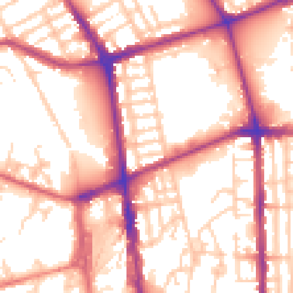
Daytime· 07:00 – 23:00
56.6dB

Night-time· 23:00 – 07:00
47.4dB