1 Blossom Street, Bootle, L20 5BB
About 1 Blossom Street
1 Blossom Street is a three-bedroom end-of-terrace house in Bootle (L20 5BB). It has a recorded floor area of 87 m² (around 936 sq ft), construction records dating it to 1930-1949 and council tax band A. The latest certificate (May 2021) shows a D (score 56), a step below the typical UK home. The recommended improvements would push it to C (score 76).
Across 2021–2023, sale prices on this property compounded at 8% per year. Today's modelled estimate of £138,000 is 15% above the 2023 sale price. On a £-per-square-foot basis, the last sale (£128/sq ft) was about 127.2% above the typical sold price in the postcode. Most recent transfer: June 2023 at £120,000.
What this property has
Inside
- Bedrooms3
- Bathrooms1
Everything you need to know about 1 Blossom Street
The true value, the hidden risks and the full sale history, in one report.
30-day money-back guarantee

The data behind every report


Energy performance
EPC Rating
Planning history
1 Blossom Street has no planning applications on record.
Notable planning nearby
4applications of note in the surrounding area
We flagged 1 thing worth checking at 1 Blossom Street
Independent checks surfaced things a buyer would want to understand before offering. The report explains each one in full, with the underlying data and what to ask.
- Larger development activity nearby
30-day money-back guarantee
Sales history & valuation
Latest sale on 1 Blossom Street was the highest on Land Registry record across the postcode.
£138,000
Modelled from EPC, postcode comparables and a sale-price growth of 8.0% per year over 2 years.
£120,000
Growth on file: 8.0% per year over 2 years.
Sales timeline
25 June 2023Most recent
£120,000
+15.9%over 1 year22 July 2021
£103,500
Median price across the last 5 sales in L20 5BB: £83,000 (2025–2018).
Versus other Blossom Street homes
On price per m², 1 Blossom Street stands well clear of the street.
Price per m²
£1,379
Street avg £885
Floor Area
87 m²
Street avg 87 m²
Habitable Rooms
4 rooms
Street avg 5 rooms
CO₂ Emissions
5.0 t/year
Street avg 3.9 t/year
Everything you need to know about 1 Blossom Street
The true value, the hidden risks and the full sale history, in one report.
30-day money-back guarantee
The data behind every report
Similar properties nearby
The neighbourhood at a glance
Rail-style transport is unusually close for this postcode.
Crime
7/mo
Rising year-on-year across the wider district.
Nearest stop
0.1 km
Linacre Lane — bus stop.
Closest school
0.2 km
Linacre Primary School. 36 schools nearby.
Go deeper on the local area
The full report breaks down crime, transport links, schools and air quality in depth.
Road noise across the postcode
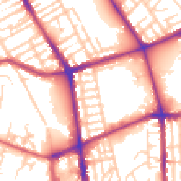
Daytime· 07:00 – 23:00
56.5dB

Night-time· 23:00 – 07:00
47.6dB